rfarren":20jk9eon said:
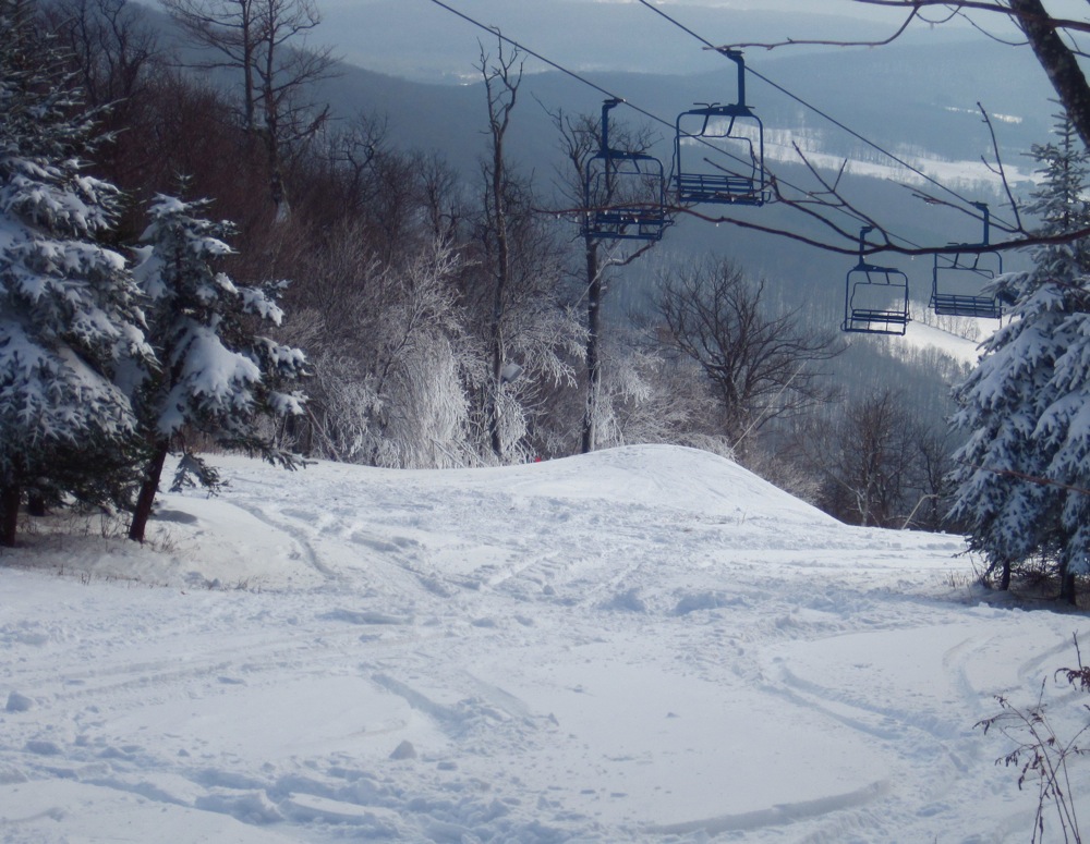
Even though it's going to be cold for the next week or so there are no big storms hitting in the near future to help build up a base. I'm wondering if any mountains got snow on the backside of yesterdays storm?
Its snowing now
huh
.LONG TERM /THURSDAY THROUGH MONDAY/...
AS OF 152 PM EST MONDAY...NO HUGE CHANGES IN THE OVERALL EXPECTED
SYNOPTIC PATTERN FROM PREVIOUS FORECAST. LOOKS LIKE A SEMI-
PERSISTENT UPPER TROUGH WILL BE LOCKED INTO PLACE OVER EASTERN
CANADA AND INTO THE NORTHEASTERN US. WITHIN THE TROUGH PATTERN, IT
LOOKS LIKE SEVERAL UPPER LEVEL DISTURBANCES WILL MOVE IN, DEVELOP
INTO STRONGER CYCLONIC CIRCULATIONS AND THEN GET KICKED OUT A
COUPLE OF DAYS LATER AS ANOTHER DISTURBANCE COMES IN. IN THE END,
IT WILL MEAN FOR US AN EXTENDED PERIOD OF CLOUDY, SEASONABLY COLD,
AND UNSETTLED WEATHER PATTERN DAY AFTER DAY. HUNG CLOSE TO GRIDDED
MOS GUIDANCE FOR POPS - WHICH WAS SIMILAR TO CLIMATOLOGY. SO
LOOKING AT 30-40% POPS EACH DAY ACROSS NORTHERN AREAS, THOUGH
HIGHER IN THE MOUNTAINS, AND CLOSER TO 20% IN THE SOUTHERN
VALLEYS. LOW/MID LEVEL NORTHWEST FLOW AND PLENTY OF MOISTURE WILL
ENSURE UPSLOPE SNOW SHOWERS CONTINUE DAY AFTER DAY. I`LL BE THE
FIRST TO ADMIT THAT PERHAPS 100% POPS SHOULD BE PAINTED IN THE
HIGHEST TERRAIN EACH DAY, BUT COULDN`T QUITE DO IT THIS FAR OUT.
EMBEDDED WITHIN THIS SCENARIO THERE WILL LIKELY BE A TIME OR TWO
OF A MORE WIDESPREAD LIGHT SNOW EVENT AS THOSE CYCLONIC
CIRCULATIONS SPIN UP AND AFFECT THE AREA. MAY ALSO SEE SOME LAKE
EFFECT OFF OF LAKE ONTARIO STREAM INTO NORTHERN NY AT TIMES.
HOWEVER, THE TIMING OF THOSE PARTICULAR SITUATIONS IS WAY TOO
DIFFICULT AT THIS POINT, SO HAVE LEFT IT OUT. REGARDLESS, WITH
THIS KIND OF PATTERN, I EXPECT SUBSTANTIAL SNOWFALL AMOUNTS TO
OCCUR ACROSS THE FAVORED WEST/NORTHWEST FACING SLOPES FOR THE
PERIOD. YES, WE AGAIN MAY MEASURE IN FEET IN SOME HIGHER ELEVATION
LOCATIONS LIKE MT MANSFIELD AND JAY PEAK. SOME UNCERTAINTY AS TO THE
BIG PATTERN THIS COMING SUNDAY/MONDAY. ECMWF AND GFS HAVE BEEN
FLIP FLOPPING ON WHETHER OR NOT A COASTAL STORM WILL BE
DEVELOPING. LATEST TRENDS HAVE BEEN TO KEEP ANYTHING SOUTH AND
EAST OF THE BENCHMARK (40N/70W), WHICH IS TOO FAR AWAY FOR US TO
EVEN NOTICE. HOWEVER, THINGS COULD ALWAYS CHANGE.
LOOKING EVEN FARTHER AHEAD INTO FANTASY LAND, IT DOESN`T APPEAR
THE PATTERN WILL CHANGE APPRECIABLY BEFORE CHRISTMAS. THUS I`D PUT
MY MONEY ON A SOLID SNOWPACK FOR US ALL COME DECEMBER 25TH.