Day Two: Another day, another Utah opening.
This time, for me it was Park City Mountain Resort, although I'll note that Snowbird and Brian Head both opened today, too. PCMR had set a 10 a.m. opening for Payday, and another person and I were the first to enter the singles line at 9:30 a.m. I was surprised; I'd expected a bigger line-up, but I imagine that the holiday blackout of the Epic Local Pass had a negative effect on attendance.
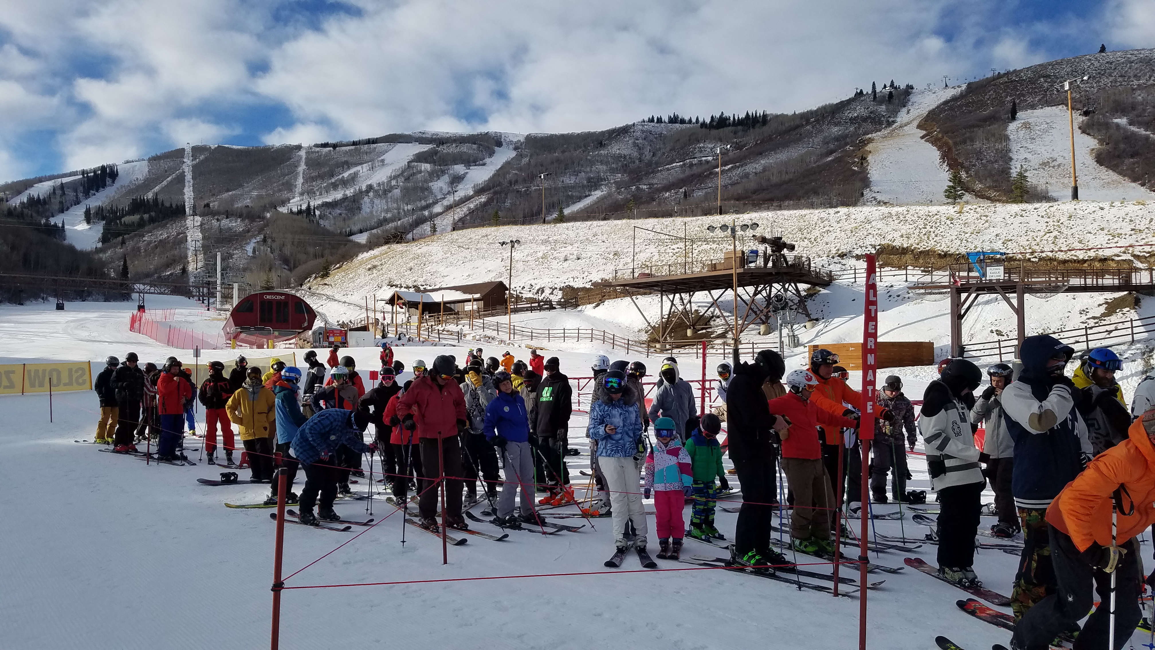
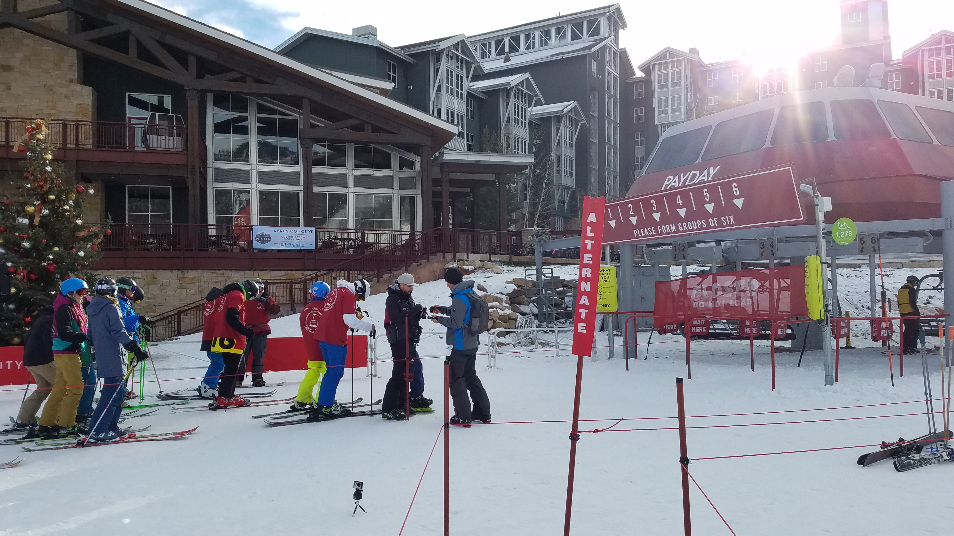
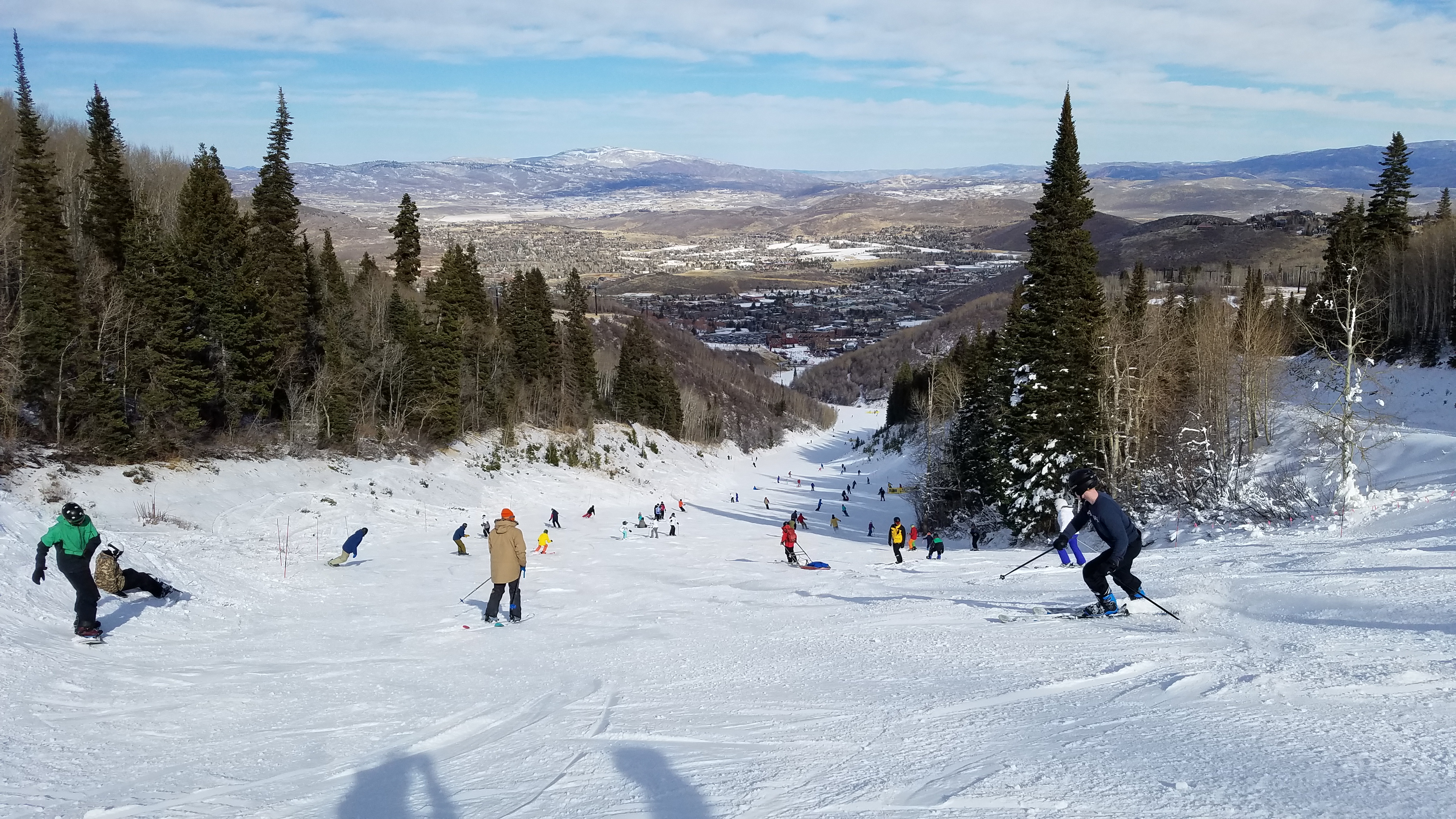
A DJ cranked tunes, the media shot B-roll and the crowd cheered as the gates opened at 10 a.m. sharp. I think that I was on about the 20th chair. Only one run was open, down in count by two from the Brighton opening on Friday, but this time it was a run of nearly 1,300 vertical feet. With my out-of-shape legs, that was a long enough run to start rebuilding those quads. Surfaces were better than at Brighton, too, at least until they started getting chewed up as the crowds grew.
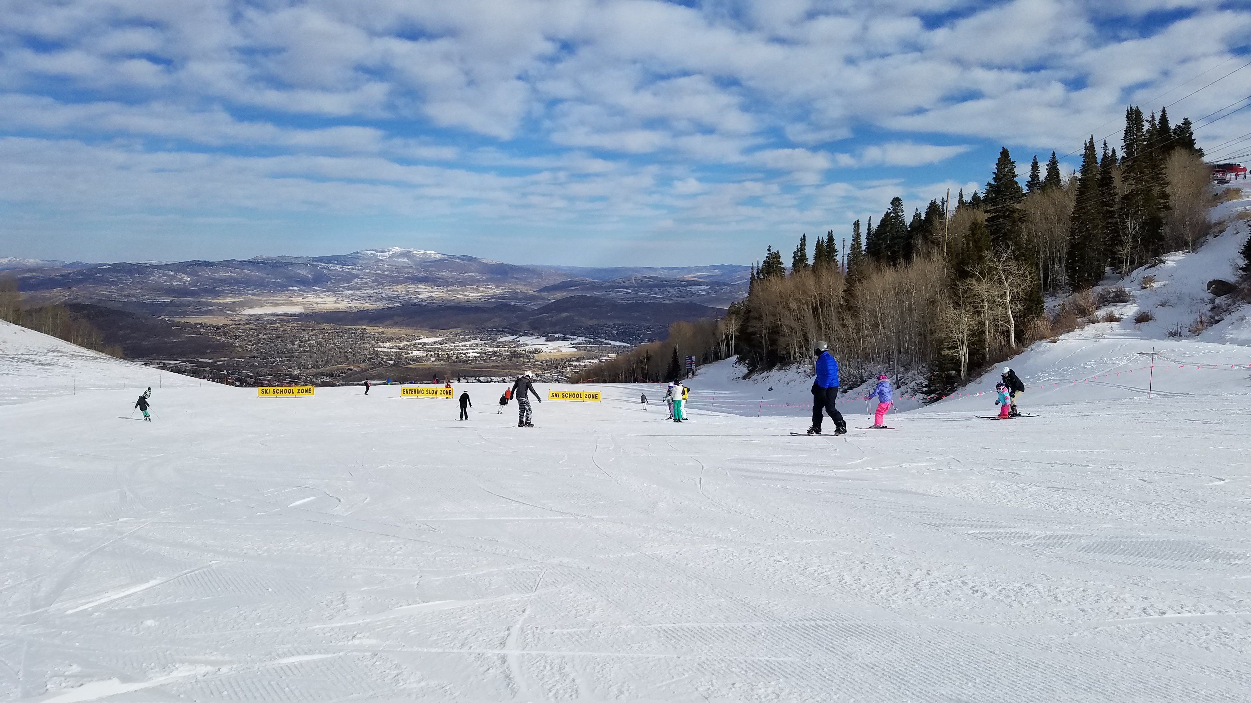
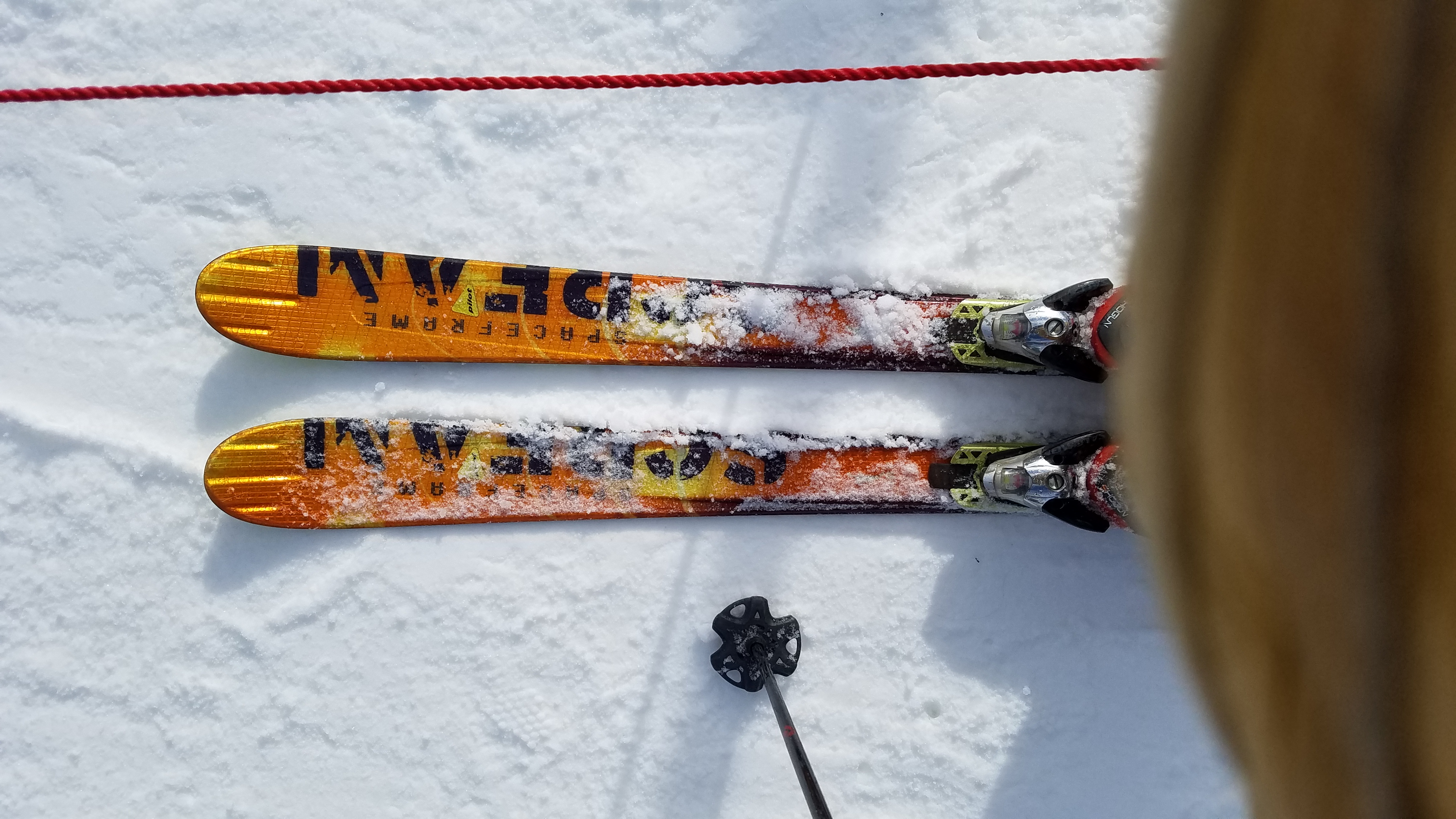
I used the opportunity to dust the cobwebs off some old skis and take them out for a spin, as I haven't skied anything narrower under foot than 114mm in the past few years (aside from a mid-fat demo or two). The G3 Reverends skied just fine (95mm under foot), other than that they are truly too light to be a resort ski for me. The old Salomon Scream Hots (75mm under foot), however, railed like ice skates but felt about as lively as a pair of 2x4s. Those are headed for the landfill.
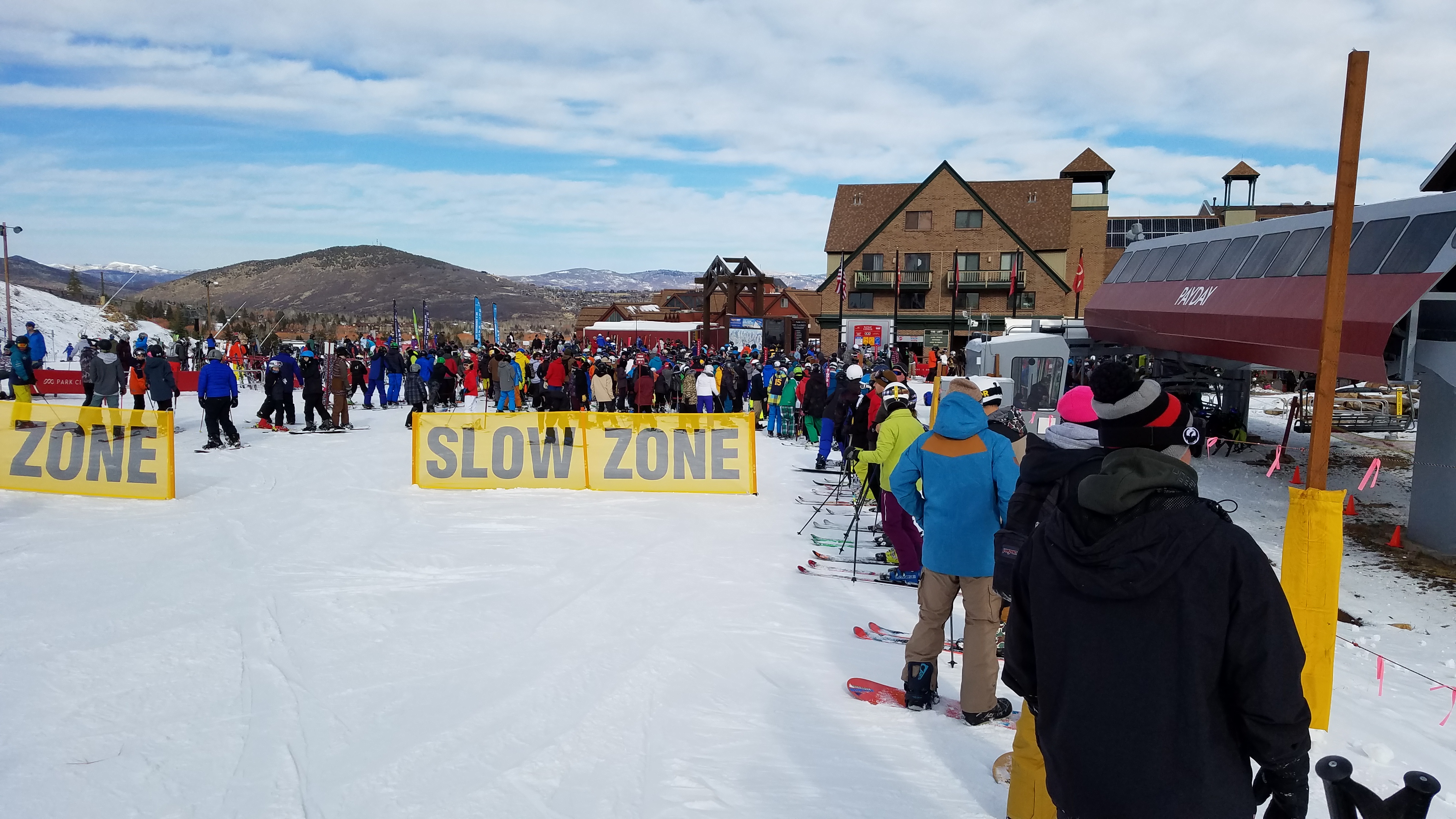
By 1 p.m. the crowd had grown to the point where I'd had enough.
Tomorrow the crowd will be dispersed by the opening of Park City's Canyons Village side. Tiny Tim and I will be heading over there as our next storm (and what could well be the big'un) knocks on Utah's door.
This time, for me it was Park City Mountain Resort, although I'll note that Snowbird and Brian Head both opened today, too. PCMR had set a 10 a.m. opening for Payday, and another person and I were the first to enter the singles line at 9:30 a.m. I was surprised; I'd expected a bigger line-up, but I imagine that the holiday blackout of the Epic Local Pass had a negative effect on attendance.
A DJ cranked tunes, the media shot B-roll and the crowd cheered as the gates opened at 10 a.m. sharp. I think that I was on about the 20th chair. Only one run was open, down in count by two from the Brighton opening on Friday, but this time it was a run of nearly 1,300 vertical feet. With my out-of-shape legs, that was a long enough run to start rebuilding those quads. Surfaces were better than at Brighton, too, at least until they started getting chewed up as the crowds grew.
I used the opportunity to dust the cobwebs off some old skis and take them out for a spin, as I haven't skied anything narrower under foot than 114mm in the past few years (aside from a mid-fat demo or two). The G3 Reverends skied just fine (95mm under foot), other than that they are truly too light to be a resort ski for me. The old Salomon Scream Hots (75mm under foot), however, railed like ice skates but felt about as lively as a pair of 2x4s. Those are headed for the landfill.
By 1 p.m. the crowd had grown to the point where I'd had enough.
Tomorrow the crowd will be dispersed by the opening of Park City's Canyons Village side. Tiny Tim and I will be heading over there as our next storm (and what could well be the big'un) knocks on Utah's door.
The National Weather Service":31hiqt9v said:531
WWUS45 KSLC 262219
WSWSLC
URGENT - WINTER WEATHER MESSAGE
NATIONAL WEATHER SERVICE SALT LAKE CITY UT
319 PM MST SAT NOV 26 2016
UTZ007>010-517-518-270500-
/O.NEW.KSLC.WS.W.0006.161127T0600Z-161129T1200Z/
WASATCH MOUNTAINS I-80 NORTH-WASATCH MOUNTAINS SOUTH OF I-80-
WESTERN UINTA MOUNTAINS-WASATCH PLATEAU/BOOK CLIFFS-
CENTRAL MOUNTAINS-SOUTHERN MOUNTAINS-
INCLUDING THE CITIES OF...WOODRUFF...RANDOLPH...ALTA...BRIGHTON...
MIRROR LAKE HIGHWAY...SCOFIELD...COVE FORT...KOOSHAREM...
FISH LAKE...LOA...PANGUITCH...BRYCE CANYON
319 PM MST SAT NOV 26 2016
...WINTER STORM WARNING IN EFFECT FROM 11 PM THIS EVENING TO 5 AM
MST TUESDAY...
THE NATIONAL WEATHER SERVICE IN SALT LAKE CITY HAS ISSUED A
WINTER STORM WARNING FOR HEAVY SNOW...WHICH IS IN EFFECT FROM 11
PM THIS EVENING TO 5 AM MST TUESDAY.
* AFFECTED AREA...THE WASATCH MOUNTAINS, THE WESTERN UINTA
MOUNTAINS, THE BOOKCLIFFS AND WASATCH PLATEAU...THE CENTRAL AND
SOUTHERN MOUNTAINS OF UTAH.
* SNOW ACCUMULATIONS...18 TO 30 INCHES WITH ISOLATED HIGHER
AMOUNTS.
* TIMING...SNOW WILL DEVELOP THIS EVENING AND CONTINUE THROUGH THE
NIGHT. A PERIOD OF MODERATE TO HEAVY SNOW CAN BE EXPECTED
SATURDAY NIGHT THROUGH SUNDAY MORNING. SNOW MAY DECREASE IN
INTENSITY FOR A PERIOD LATER SUNDAY MORNING INTO SUNDAY
AFTERNOON. MODERATE TO HEAVY SNOW WILL ONCE AGAIN DEVELOP SUNDAY
EVENING INTO EARLY MONDAY MORNING WITH ANOTHER ROUND OF MODERATE
TO HEAVY SNOW EXPECTED MONDAY AFTERNOON INTO EARLY TUESDAY
MORNING.
* WINDS...WEST TO NORTHWEST WINDS WITH GUSTS TO 50 MPH WILL BE
POSSIBLE SUNDAY AFTERNOON THROUGH TUESDAY MORNING.
* IMPACTS...WINTER DRIVING CONDITIONS CAN BE EXPECTED ACROSS
MOUNTAIN PASSES AND ROADWAYS THROUGH THE PERIOD. THE WORST
CONDITIONS WILL LIKELY OCCUR MONDAY MORNING INTO TUESDAY MORNING
AND MAY IMPACT THE MONDAY MORNING AND MONDAY EVENING COMMUTES.
PRECAUTIONARY/PREPAREDNESS ACTIONS...
A WINTER STORM WARNING FOR HEAVY SNOW MEANS THAT SIGNIFICANT
ACCUMULATIONS OF SNOW ARE EXPECTED OR OCCURRING. DRIVING
CONDITIONS MAY BE HAZARDOUS. USE CAUTION. KEEP A WINTER STORM
SURVIVAL KIT IN YOUR VEHICLE IN CASE OF AN EMERGENCY.
FOR WINTER ROAD CONDITIONS FROM THE UTAH DEPARTMENT OF
TRANSPORTATION...VISIT
HTTP://WWW.UDOTTRAFFIC.UTAH.GOV/ROADWEA ... ECAST.ASPX" onclick="window.open(this.href);return false;" onclick="window.open(this.href);return false; OR DIAL
511.