jamesdeluxe
Administrator
This should get Baldy open:


get Baldy open
From the "there is such a thing as too much snow (at least all at once)" folder: assuming that those numbers verify, how long do you think it would take to clear the roads, parking lots, and base area, dig out the lifts, and do everything else to get a very old-school ski area up and running? To say nothing of how to deal with all the snowplayers who will be trying to drive up there!no one is likely to get much in the way of powder skiing from such a storm (...) 132-164 inches in 4 days which sounds more Donner Party

My forecast for the Big Bear Mtns. is now 50 - 70 inches. Mtn. High could see 80 - 100 inches. And Mt. Baldy with the favored South Southwesterly flow that this system will bring in for quite a few hours could see 80 - 115 inches. These are bigger ranges just because of how important the track of this low is.
But regardless of the range you can see that these numbers are absolutely staggering. I've never forecasted this much snow for these areas and rarely have I forecasted these amounts for even places in the Sierra. .......
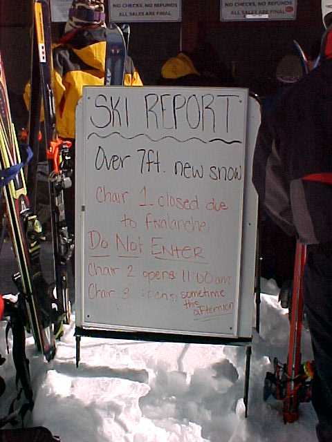
Since I have been skiing SoCal, this was the biggest single storm, pic Feb. 14, 2001:If these amounts pan out in the LA Mtns. I very much believe this would be a truly historic storm. The record for 24 hour snowfall is 67 inches for California.......
Look at the [NWS forecasted amounts on Friday and Friday night posted by James above]. That's 95 to 107 inches in a 24 hour period... Yes, that would break the California record, the continental US record of 76 inches and the Alaska record of 84 inches.
Mt. Baldy Resort... if you're reading this, please please please record the snowfall that falls this week as it truly may be a historic amount that will get you into the record books!
I am in Canada but get home Saturday night. It's almost perfect timing because I am home until March 10, longest such stretch between Jan. 21 and May 2.Question is: is Tony still in Canada, and going to miss the "storm of the century" for Baldy?
I do not expect much if any skiing Sunday. I will certainly be planning Monday.Ironically, given the roads up there and the likely extreme difficulty in re-opening after such a deluge, no one is likely to get much in the way of powder skiing from such a storm.
The road from Mt. Baldy village to the ski area is steep and twisty but only 3 miles long. It was open though certainly a challenge Feb. 14, 2001, the day after that storm ended. The digging out of lifts is a more serious question. Baldy has been alternating chairs 3 and 4 and been closed Wednesdays some parts of this season, so there are obvious staffing issues.From the "there is such a thing as too much snow (at least all at once)" folder: assuming that those numbers verify, how long do you think it would take to clear the roads, parking lots, and base area, dig out the lifts, and do everything else to get a very old-school ski area up and running? To say nothing of how to deal with all the snowplayers who will be trying to drive up there!
Yes.the San Gabriels (being a transverse range) can be one of the most prolific orographic ranges in North America.
That 76 inches in 24hrs record is from about 7 miles (as the crow flies) N of Eldora ski area and from an orographic uplift, upslope storm... The precise actual storm track will probably be critical to the final outcome at Baldy; when records are on the line like that.Yes, that would break the California record, the continental US record of 76 inches and the Alaska record of 84 inches.
@jasoncapecod, has NOAA gotten burned lately with wildly exaggerated snowfall predictions?Those are insane numbers. I'd be shocked if it really snowed that much
These predictions are often an average of many model runs. With big events there can be skewed distributions, so it would be better to use the median instead of the average. I've had e-mail correspondence with Joel about this. He would like to switch to medians but said there is a programming challenge to do that on an automated basis. The OpenSnow narrative reporters know about this and tend be conservative in forecasting the major storms, in addition to refusing to quote specific numbers more than five days out. But Mike's last post was only 2-3 days out so I'm inclined to believe it's credible.has NOAA gotten burned lately with wildly exaggerated snowfall predictions?
those numbers really aren't that exaggerated..They are just taking the qpf output from the models..@jasoncapecod, has NOAA gotten burned lately with wildly exaggerated snowfall predictions?
Probably not a popular opinion around here, but Opensnow has grossly overforecasted (wet bias) snowfall amounts for my area the 3 years I've been here in ID. It was a similar situation for Wolf Creek when I lived in Pagosa (although, not nearly as bad as it is now), which my meteorologist friend that now lives there can also attest. It seems to have gotten worse with their relatively new "model" they use.These predictions are often an average of many model runs. With big events there can be skewed distributions, so it would be better to use the median instead of the average. I've had e-mail correspondence with Joel about this. He would like to switch to medians but said there is a programming challenge to do that on an automated basis. The OpenSnow narrative reporters know about this and tend be conservative in forecasting the major storms, in addition to refusing to quote specific numbers more than five days out. But Mike's last post was only 2-3 days out so I'm inclined to believe it's credible.
There are still factors that can radically reduce this forecast. I recall after that Feb. 2001 event Larry Schick e-mailed me that we were going to get another one just like it in early March. The March 2001 storm tracked slightly north of where forecast and dumped torrents of rain on Santa Barbara and Ventura Counties and had little moisture left when it got to L.A. County and the taller mountains farther east. I believe this is the highest risk of the current prediction falling way short.
Since I have been skiing SoCal, this was the biggest single storm, pic Feb. 14, 2001:
Here's my forecast for today, Thursday through Sunday morning. My forecast for the Big Bear Mtns. is now 38 - 50 inches. Mtn. High could see 68 - 85 inches. And Mt. Baldy with the favored South Southwesterly flow could see 80 - 115 inches. The ranges stay larger because of how tricky the track of the low is. A slight shift could change the stream of moisture by as little at 10 miles and keep ski areas under a weaker stream of moisture.
It's the narrative forecasts on OpenSnow that make subscribing worthwhile. Many of those guys are people who know their local mountain microclimates.
that sounds like me with my daughter...I remember that day well, you skipped work but didn’t let me skip a day of AP Chemistry for Baldy powder.
Anyone that takes those numbers verbatim is a fool..That said they are fun to look at..It's the narrative forecasts on OpenSnow that make subscribing worthwhile. Many of those guys are people who know their local mountain microclimates.
The model 1-5 day and especially 6-10 day forecasts need to be taken with a large grain of salt. But it is useful that they show those model predictions at mid mountain elevation for even the most obscure areas, like James' Euro spots.
The local forecasters were added gradually over the past decade, Arizona and New Mexico fairly recently. Joel was that guy for Colorado, decided around 2010 to expand but not do areas outside Colorado himself. Evan Thayer in Utah and Bryan Allegretto at Tahoe were independently well known in their regions before joining OpenSnow. I was one of perhaps many who lobbied Joel to fill in the gaps. I told him that Larry Schick should do the Northwest, and for a few years Larry was hired to do that. One of the Island Lake skiers from Whitefish has known Bob Ambrose, who does Montana and Alberta, for many years.Maybe, however when I lived in Pagosa there was not a dedicated snowfall forecaster for the SW CO/NM area.
I remember that day well, you skipped work but didn’t let me skip a day of AP Chemistry for Baldy powder.that sounds like me with my daughter...