I posted a complete report on our website:
http://www.clubveloepic.org/forum/viewtopic.php?p=10592
Here's some of the stuff we had the pleasure of riding:¸
-----------------------------------------------------------------
Well, the snow season started 2 weeks ago... and after last weekend's rain, i had to check out what was left! I heard that Jay fired up their snowguns... so at least, the Jet and Haynes would be skiable...
So Karine, Celine, Seb, Marc and I decided to take a little drive to Jay...
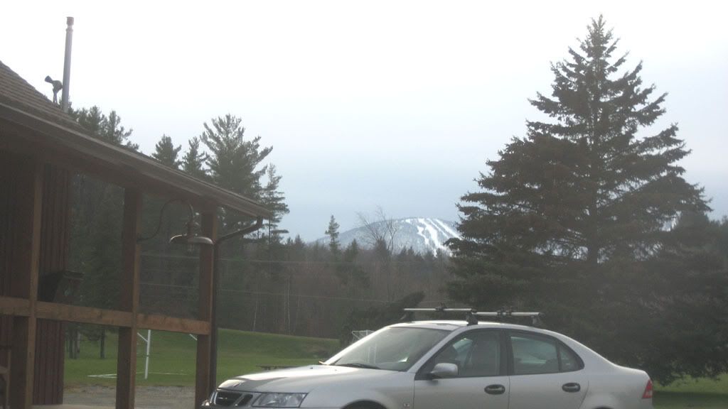
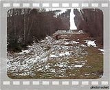
There was no snow on the ground before we got to the parking lot...
We climbed to the top:
1_ Down the Jet
2_ Derreck Hot Shot
3_ Jet again
We saw plenty of jibbers climbing painfully up the Jet and Haynes under the snowguns... Look splippery and hard... We took the U.N. all on natural soft snow...
Here's Celine going real low:
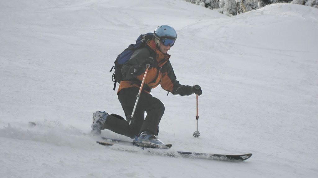
Paul carving some turns with his retro rear-entry boots:

Celine:

Paul:

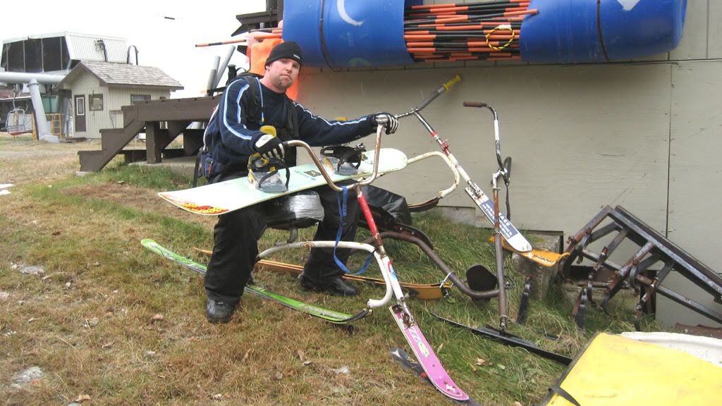
I had to step on that bike... but i needed the "snowboard" attitude :lol: :
Oh and yeah... just so you know, Paul and I didn't feel like walking... we made it all the way down to the bottom of the Jet...
... there was a good 20 people on the mountain... Guess everyone figured out that it would be worth it... We climbed 3600ft yesterday... Felt goog!

(Now pray for snow... HARD!)
http://www.clubveloepic.org/forum/viewtopic.php?p=10592
Here's some of the stuff we had the pleasure of riding:¸
-----------------------------------------------------------------
Well, the snow season started 2 weeks ago... and after last weekend's rain, i had to check out what was left! I heard that Jay fired up their snowguns... so at least, the Jet and Haynes would be skiable...
So Karine, Celine, Seb, Marc and I decided to take a little drive to Jay...
There was no snow on the ground before we got to the parking lot...
We climbed to the top:
1_ Down the Jet
2_ Derreck Hot Shot
3_ Jet again
We saw plenty of jibbers climbing painfully up the Jet and Haynes under the snowguns... Look splippery and hard... We took the U.N. all on natural soft snow...
Here's Celine going real low:
Paul carving some turns with his retro rear-entry boots:
Celine:
Paul:
I had to step on that bike... but i needed the "snowboard" attitude :lol: :
Oh and yeah... just so you know, Paul and I didn't feel like walking... we made it all the way down to the bottom of the Jet...
... there was a good 20 people on the mountain... Guess everyone figured out that it would be worth it... We climbed 3600ft yesterday... Felt goog!
(Now pray for snow... HARD!)


