Marc_C
Active member
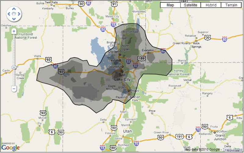
The oil plume from the BP disaster is huge and getting larger by the day, but x million gallons is hard to visualize. What if the disaster occurred in, say, Midvale, Utah?
Visualize it elsewhere at:
http://www.ifitwasmyhome.com/
Visualize it elsewhere at:
http://www.ifitwasmyhome.com/

