You are using an out of date browser. It may not display this or other websites correctly.
You should upgrade or use an alternative browser.
You should upgrade or use an alternative browser.
Hurricane /Tropical Cyclone Hilary to hit Socal
- Thread starter snowave
- Start date
I was at Zuma Beach last Monday and the ocean water was 64F. I'm sure that sustained period in May/June with almost no sunny days delayed warming of the ocean here. So I'm skeptical that sustained high winds are likely along the coast once the storm gets here. Where the storm interacts with the mountains may be a different story.
The rain forecast is more credible. The record for L.A. in August is 2.26 inches in 1977. That storm was accurately predicted a few days ahead.
September 1939 rainfall in L.A. was 5.67 inches. There are anecdotal reports of a hurricane in San Diego in 1858 with wind damaged buildings.
There are no other Augusts besides 1977 with as much as an inch of rain in L.A. There are 10 other Septembers with at least an inch since 1878. The record high rain for June is 1.39 inches in 1884 with no other June as much as one inch. The record high rain for July is 0.38 inch in 2015.
The Dodgers, Angels and Padres are all at home this weekend. Saturday night games remain as scheduled but all 3 Sunday games have been moved to noon Saturday.
jamesdeluxe
Administrator
NOAA has Glendale at 3-ish inches.
I guess I could have put this in the "western weather" thread. Oh well.
1976 Hurricane Kathleen took a similar path as Hilary is forecast... We have flood watches here in ID and are expected to get 2-3". Would be great for the fires in the area, although there are much worse fires further north and also west which might not get any rain from this storm.
1976 Hurricane Kathleen took a similar path as Hilary is forecast... We have flood watches here in ID and are expected to get 2-3". Would be great for the fires in the area, although there are much worse fires further north and also west which might not get any rain from this storm.
The largest rain totals so far are all in the mountains in the 7 inch range as snowave reports, no surprise: Mt. Laguna (where I saw the 2015 lunar eclipse), Mt. Palomar, Idyllwild. It started raining here around 7AM, maybe easing off now. Foothill areas like ours are consistently in the 3+ inch range. Anomalous as this may be for SoCal, I'm sure this would be ho hum to easterners, many of whom have probably experienced what I did in Florida in June 2021: 4 inches in 75 minutes!NOAA has Glendale at 3-ish inches.
Last edited:
jamesdeluxe
Administrator
Chavez Ravine:
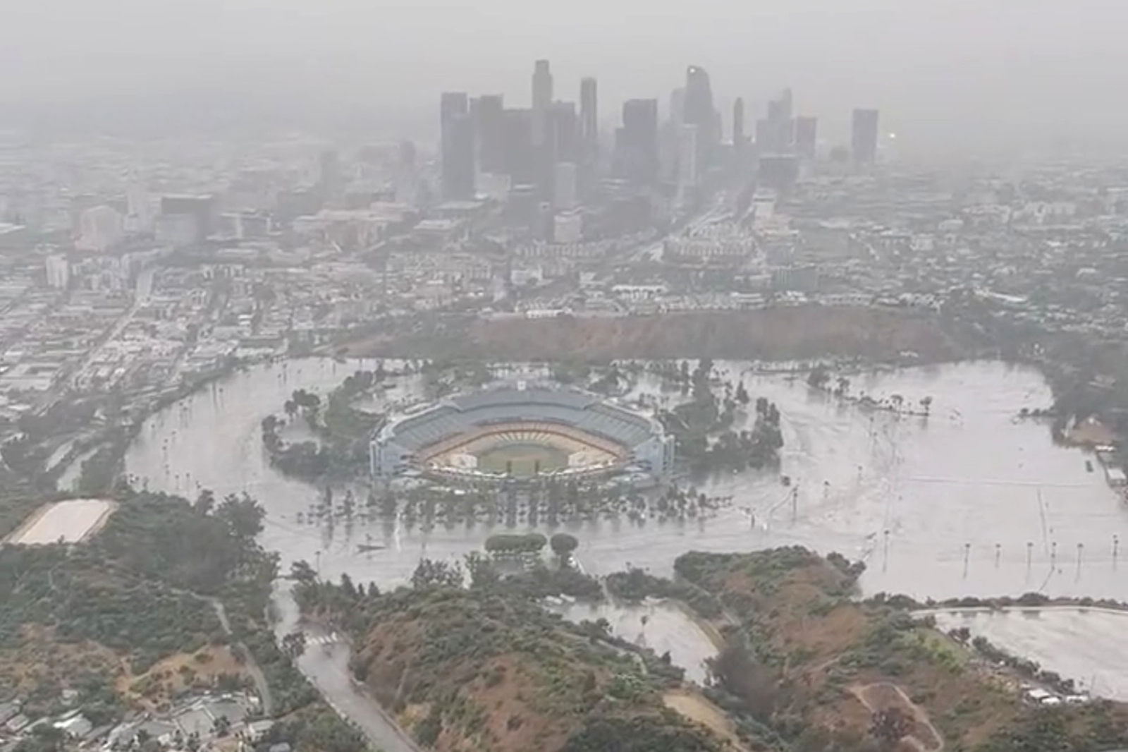
It's hard what to make of that Dodger Stadium picture. Those parking lots are not flat; they should generally drain away from the stadium. Tuesday story reports pic is a reflection/illusion.
From L.A. Times online:
The numbers below should be close to final. It was not raining early this morning and it's clearing up now.
Where I am it rained continuously starting about 6:30AM Sunday for 18 hours with no wind. I woke up at 2:30AM this morning when wind slammed a couple of my open windows shut and I noticed power was out. It came back on just before 8AM. I've been in this house 39 years and the only other power outage more than an hour was 6 hours after the Northridge earthquake.
These are the rain totals within several SoCal counties revised Monday, according to the National Weather Service. The revised 2.99 inches in bold for downtown L.A. exceeds that August record from 1977.
As with all northern hemisphere tropical storms, counterclockwise circulation means the strongest impacts of rain and especially wind are on the leading northeastern edge. The mountains shadowed coastal Orange and San Diego counties to lesser rain totals.
From L.A. Times online:
The trail of Hilary took an interesting turn Sunday night, as the storm made a trek from the Inland Empire to the heart of Los Angeles. The center of the storm went from being east of Murrieta in Riverside County at 5 p.m. to above Compton around 8 p.m., according to the National Hurricane Center. At around 8:15 p.m., the center of the storm was circulating directly over Dodger Stadium, according to Daniel Swain, a UCLA climate scientist.
It was an unexpected move of the center of the storm; the so-called eye of the storm had been forecast to move northward, along the border of Los Angeles and San Bernardino counties, before moving north into the Owens Valley along the U.S. Highway 395. But the move of the eye of the storm to L.A. County, as determined by the National Hurricane Center, coincided with Hilary becoming less organized as a tropical storm.
In some ways, where the eye of the storm was on Sunday night matters less than before, according to meteorologist Todd Hall of the National Weather Service office in Oxnard, as Hilary continues to weaken. By 11 p.m. Sunday, the National Hurricane Center put Hilary’s center back where it was originally expected to be located — in the Owens Valley, somewhere roughly between Ridgecrest and Lone Pine.
The numbers below should be close to final. It was not raining early this morning and it's clearing up now.
Where I am it rained continuously starting about 6:30AM Sunday for 18 hours with no wind. I woke up at 2:30AM this morning when wind slammed a couple of my open windows shut and I noticed power was out. It came back on just before 8AM. I've been in this house 39 years and the only other power outage more than an hour was 6 hours after the Northridge earthquake.
These are the rain totals within several SoCal counties revised Monday, according to the National Weather Service. The revised 2.99 inches in bold for downtown L.A. exceeds that August record from 1977.
Los Angeles County Coast & Metro
- Hollywood Reservoir: 4.92
- Beverly Hills: 4.80
- Leo Carrillo: 4.39
- Bel Air: 4.14
- Culver City: 3.65
- Santa Monica: 3.56
- LA Downtown: 2.99
- Long Beach: 2.62
- LA Airport: 2.54
- Redondo Beach: 2.47
- Hawthorne: 2.24
San Fernando Valley
- Van Nuys: 4.70
- La Canada Flintridge: 4.52
- Northridge: 4.47
- Calabasas: 3.98
- Porter Ranch Raws: 3.96
- Agoura Hills: 3.95
- San Rafael Hills: 3.81
- Burbank: 3.56
- Canoga Park: 3.51
- Chatsworth Reservoir: 3.02
- Hansen Dam: 2.29
San Gabriel Valley
- Morris Dam: 5.76
- East Pasadena: 5.74
- Eagle Rock Reservoir: 4.70
- Sierra Madre: 4.45
- Claremont: 4.04
- La Verne: 4.01
- Alhambra: 3.60
- Whittier: 2.81
- Pasadena: 2.40
- Mt Olive High School: 1.96
Santa Clarita Valley
- Saugus: 6.46
- Newhall: 5.71
- Castaic Junction: 5.47
- Del Valle: 5.26
- Castaic.: 4.51
Catalina Island
- Catalina Island Raws: 2.91
- Avalon Harbor: 1.85
Los Angeles County Mountains
- Mount Wilson: 8.56
- Lewis Ranch: 7.04
- Leona Valley Fire Station: 6.97
- Crystal Lake: 6.97
- Cogswell Dam: 6.69
- Santa Anita Dam: 6.53
- San Gabriel Dam: 5.98
- Mt Baldy: 5.84
- Sierra San Antonio Medical Plaza: 5.84
- Big Dalton Dam: 5.67
- Chilao South: 5.16
- Mill Creek 5.14
- Inspiration Point: 5.08
- West Fork Heliport: 4.92
- Camp 9: 4.86
- Whitaker Peak: 4.40
- Chilao: 4.37
- Tanbark: 4.34
- Warm Springs Camp: 4.10
- Warm Springs: 4.08
- Opids Camp: 3.42
- Hungry Valley: 3.38
- San Antonio Dam: 2.92
- Sandberg: 1.54
Santa Monica Mountains
- Stunt Ranch: 5.08
- Sepulveda Cyn At Mulh: 4.91
- Topanga: 4.74
- Monte Nido: 4.65
- Lechuza: 4.03
Antelope Valley
- Lake Palmdale: 5.98
- Valyermo: 5.65
- Poppy Park: 4.29
- Palmdale: 3.94
- Saddleback Butte: 3.24
- Lancaster: 2.16
Orange County Coastal Areas
- Coto de Caza: 3.07
- Alameda Storm Channel: 2.92
- Orange Co Reservoir: 2.78
- Lower Silverado: 2.76
- Brea Olinda: 2.68
- Brea: 2.64
- Santa Ana Engineering: 2.56
- Garden Grove: 2.48
- Pico Retarding Basin: 2.48
- Yorba Reservoir: 2.44
- San Juan Capistrano: 2.44
- Bell Canyon: 2.41
- Gilbert Retarding Basin: 2.40
- Fullerton Creek: 2.36
- Fullerton Dam: 2.32
- Lower Oso Creek: 2.28
- East Garden Grove/Wintersburg: 2.28
- Carbon Canyon Dam: 2.22
- Laguna Niguel Park: 2.20
- San Juan Guard: 2.17
- Bee Canyon: 2.09
- Huntington Beach: 2.09
- Laguna Audubon: 2.08
- Costa Mesa: 2.00
- Villa Park Dam: 1.97
- Westminster Channel: 1.93
- Anaheim Hills: 1.85
- Yorba Park: 1.82
- El Modena-Irvine: 1.81
- Villa Park Reservoir: 1.74
- Lane Channel: 1.73
- Santa Ana Delhi Chnl: 1.73
- Laguna Canyon Repeater: 1.69
- San Diego Creek @ Campus: 1.69
- San Diego Ck @ Culver: 1.65
- Peters Canyon Wash:1.58
- Corona Del Mar: 1.57
Ventura County Coastal
- California State University Channel Islands: 4.17
- Saticoy: 2.52
- Oxnard: 1.63
- Ventura: 1.44
- Oxnard Civic Center: 1.08
- Silverstrand Beach: 0.75
- La Conchita: 0.48
Ventura County Coastal Valleys
- Rocky Peak: 4.33
- Deals Flat: 3.81
- Circle X Ranch: 3.78
- South Mountain: 3.77
- Moorpark: 3.75
- Cheeseboro: 3.52
- Miller Ranch: 3.42
- Thousand Oaks: 3.35
- Simi Valley: 3.34
- Westlake Village: 3.19
- Newbury Park: 3.00
Ventura County Interior Valleys
- Piru: 4.71
- Lake Piru: 4.70
- Santa Paula: 3.52
- Sulphur Mountain: 2.47
- Harmon Canyon ..... 2.19
- Stewart Canyon: 1.65
- Ojai: 1.56
- Red Mountain: 1.18
- Station Canyon: 0.90
- Fillmore: 0.36
- Fagan Canyon: 0.04
Ventura County Mountains
- Last Chance: 3.31
- Lockwood Valley: 2.95
- Chuchupate: 2.57
- Nordhoff Ridge: 2.52
- Sycamore Canyon: 2.17
- Ortega Hill: 2.04
- Rose Valley: 1.97
- Rose Valley Raws: 1.75
- Apache Canyon: 1.38
- Matilija Canyon: 1.30
- White Ledge Peak: 1.30
- Old Man Mountain: 1.22
- Matilija Dam: 1.17
Santa Ana Mountains
- Upper Harding Canyon: 4.53
- Santiago Peak: 4.17
- Horsethief/Rice Canyon: 4.09
- Upper Silverado Canyon: 4.09
- Santa Rosa Plateau: 3.90
- Holy Jim Canyon: 3.35
- Leach/Dickey Canyon: 3.31
- Indian Canyon: 3.23
- El Cariso: 3.11
- McVicker Canyon: 3.07
- El Cariso Raws: 2.89
- Silverado Motorway: 2.76
- Modjeska Canyon: 2.71
- Sylvan Meadows: 2.14
- Fremont Canyon Raws: 2.01
The Inland Empire (San Bernardino County)
- Devore Fire Station: 4.24
- Demens Creek Debris Basin: 3.31
- Chino Airport: 2.55
- Gilbert Street, North San Bernardino: 2.40
- San Bernardino: 1.69
The Inland Empire (Riverside County)
- Cabazon Raws: 3.34
- Temecula: 2.76
- Murrieta Ck At Tenaja: 2.56
- Beaumont Raws: 2.52
- Norco: 2.48
- Temescal Forest Service Station: 2.36
- Railroad Canyon Dam: 2.32
- North Elsinore: 2.20
- Riverside South: 2.16
- Pigeon Pass Dam: 2.16
- Potrero Canyon: 2.13
- Clark Raws: 2.05
- Lake Matthews Raws: 2.04
- Riverside - March Air Reserve Base: 2.02
- Perris Fire Department: 1.97
- Riverside Airport: 1.96
- Prado Dam: 1.94
- Beaumont: 1.93
- Moreno-Clark: 1.89
- San Jacinto North: 1.81
- Lake Matthews: 1.52
- French Valley Airport: 1.36
Riverside County Mountains
- Mount San Jacinto: 11.74
- Snow Creek in Idyllwild: 7.83
- Upper Tahquitz Creek: 6.22
- Pine Cove Rocky Point: 3.33
- Vista Grande Raws: 3.32
- Allandale: 3.15
- Poppet Flat Raws: 2.84
- Beaumont (Near Bogart Park): 2.55
- Banning Bench: 2.44
- Vista Grande: 2.44
- Keenwild Raws: 2.40
- Thomas Mountain: 2.11
- Anza Raws: 2.11
- Sage Raws: 1.91
Coachella Valley
- Whitewater Trout Farm: 6.61
- Morongo Valley: 5.75
- Palm Desert: 3.82
- Wide Canyon Dam: 3.78
- Cathedral Canyon: 3.61
- Desert Hot Springs: 3.35
- Palm Springs Airport: 3.23
- Lower Tahquitz Creek: 2.91
- Cactus City: 2.64
- Thermal Airport: 2.35
- Kent Sea Tech (Mecca): 2.29
- Thousand Palms: 1.66
San Bernardino County Mountains
- Raywood Flats: 11.73
- Heart Bar: 9.67
- Lytle Creek Raws: 9.44
- Middle Fork Lytle Creek: 8.84
- Heaps Peak Raws: 8.46
- Bernina Drive: 8.11
- Mormon Rock Raws: 6.30
- Wrightwood: 6.23
- Mt. Baldy: 5.80
- Big Bear Lake Dam: 4.40
- Converse Raws: 4.10
- Manzanita Flats: 3.23
- Fawnskin Raws: 3.21
- Big Bear Lake: 2.88
- Big Pine Flat Raws: 2.54
Apple and Lucerne Valleys
- Mojave Forks Dam: 5.40
- El Mirage Raws: 2.88
- Hesperia: 2.14
- Means Lake Raws: 1.67
- Granite Mountain Raws: 1.32
As with all northern hemisphere tropical storms, counterclockwise circulation means the strongest impacts of rain and especially wind are on the leading northeastern edge. The mountains shadowed coastal Orange and San Diego counties to lesser rain totals.
Last edited:
tseeb
Well-known member
Upper Mission Creek in the San Bernardino Mountains got a whopping 14.1 inches in 48 hours, while 11.73 inches fell at Raywood Flats, and Mount San Jacinto by the Palm Springs Tramway saw 11.74 inches.
In San Jose I was woken about 3 AM Monday by blind inside open E-facing sliding door on balcony making noise from wind. I rolled up balcony exterior blind that had been down for about a week to block early sun to prevent it from getting damaged and setting off lights on Ring camera nearby. I also closed slider and used ladder to remove suncloth attached to W-facing eave and deck railing in case wind picked up more. While Sun and Mon were humid, temps were significantly lower than previous week.
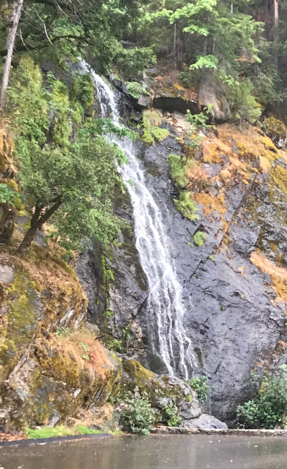
I left for Tahoe about 12:45 PM, 11 days after I'd originally planned to go. It was sprinkling although San Jose reported only a trace of rain and the maximum rainfall in Bay Area was 0.06" at Travis AFB near Fairfield. I had more sprinkles, then moderate rain my last 60 miles from Placerville to South Lake Tahoe and it got heavy at couple of times. This is 80' Bridal Veil Falls on US-50 above Pollock Pines that usually runs dry or very low in August.
Areas in the foothills reported up to a half inch of rain and South Lake Tahoe had almost three quarters. It was cool enough in Tahoe Sun and Mon with highs barely into the 60s and AM low Tues in the mid-40s that I turned on heater in living room on Tues AM and in early PM. On my bike ride Tues PM at Tahoe, the path had water in a few spots.
In San Jose I was woken about 3 AM Monday by blind inside open E-facing sliding door on balcony making noise from wind. I rolled up balcony exterior blind that had been down for about a week to block early sun to prevent it from getting damaged and setting off lights on Ring camera nearby. I also closed slider and used ladder to remove suncloth attached to W-facing eave and deck railing in case wind picked up more. While Sun and Mon were humid, temps were significantly lower than previous week.
I left for Tahoe about 12:45 PM, 11 days after I'd originally planned to go. It was sprinkling although San Jose reported only a trace of rain and the maximum rainfall in Bay Area was 0.06" at Travis AFB near Fairfield. I had more sprinkles, then moderate rain my last 60 miles from Placerville to South Lake Tahoe and it got heavy at couple of times. This is 80' Bridal Veil Falls on US-50 above Pollock Pines that usually runs dry or very low in August.
Areas in the foothills reported up to a half inch of rain and South Lake Tahoe had almost three quarters. It was cool enough in Tahoe Sun and Mon with highs barely into the 60s and AM low Tues in the mid-40s that I turned on heater in living room on Tues AM and in early PM. On my bike ride Tues PM at Tahoe, the path had water in a few spots.
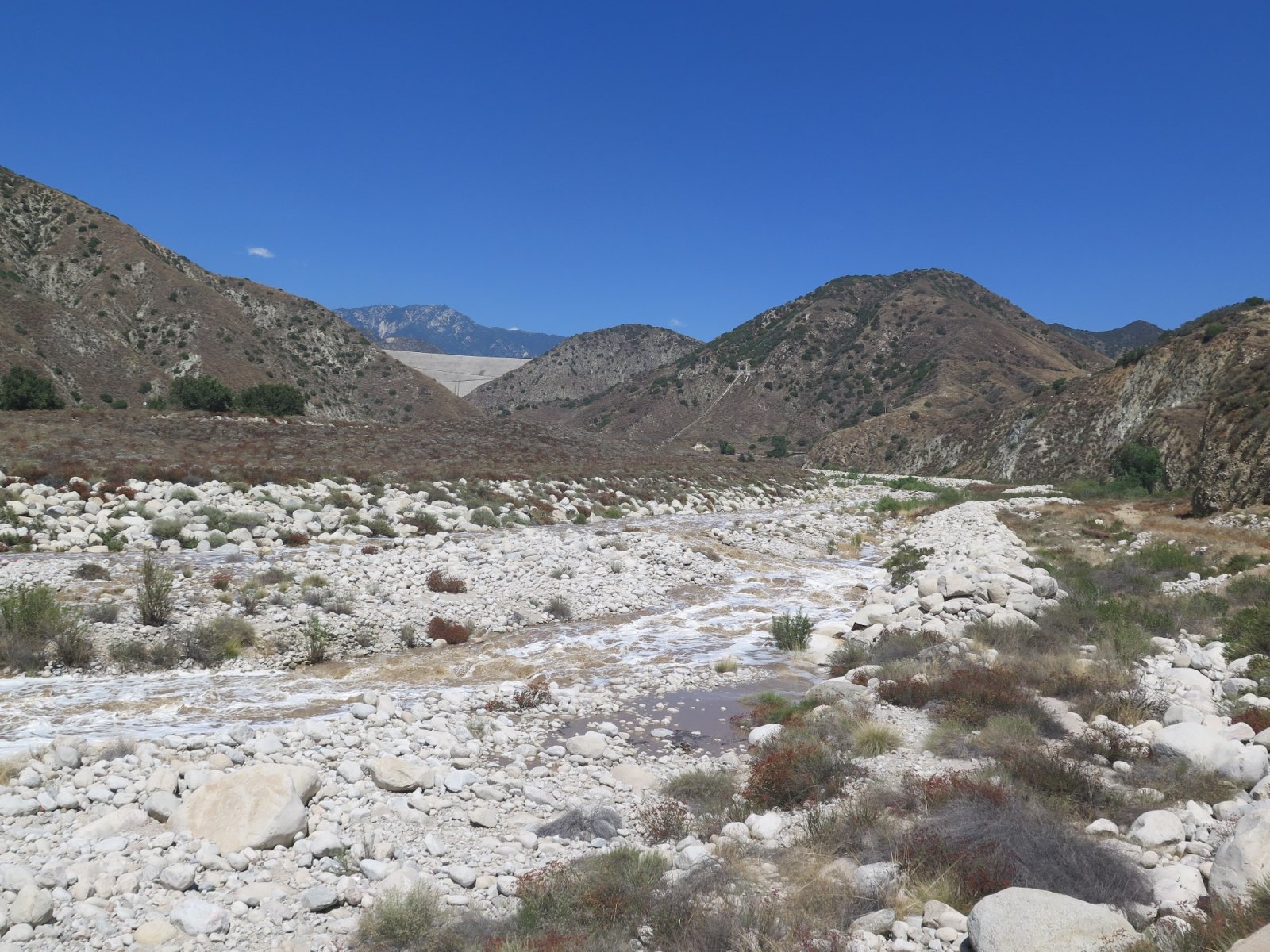
Wednesday afternoon I drove east to inspect possible results of last weekend's historic storm. My first thought was to see how much water was behind Seven Oaks Dam. I got out there and found that the public is not allowed past a gate about a mile downstream of the dam. I did not see the link above until later, and in any case the Alder Creek truck road might not have been driveable.
So I parked near the Santa Ana River bridge for this view with the dam in the distance.
Zoom of dam:
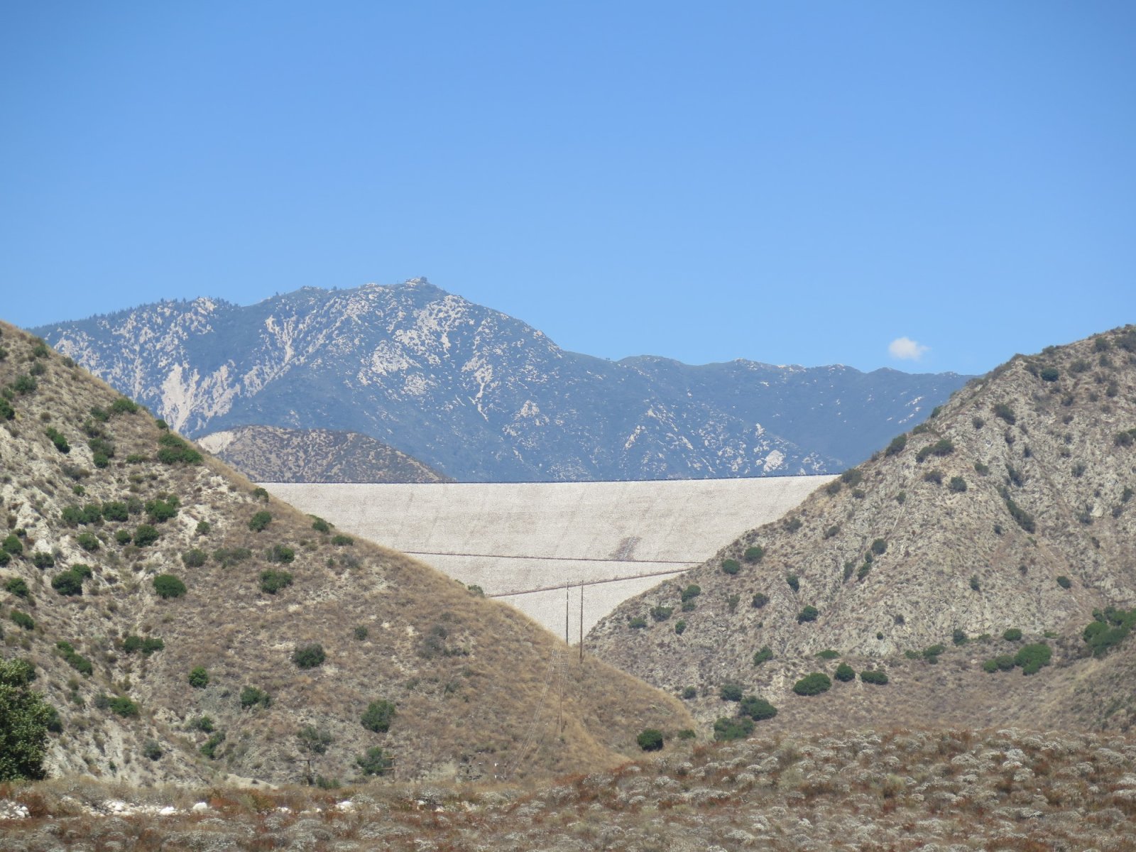
The high peak in far background is close to Snow Valley's Slide Peak.
The public closure may have done me a favor. It was 100F out there and a walk up that 550 foot dam would have been tough.
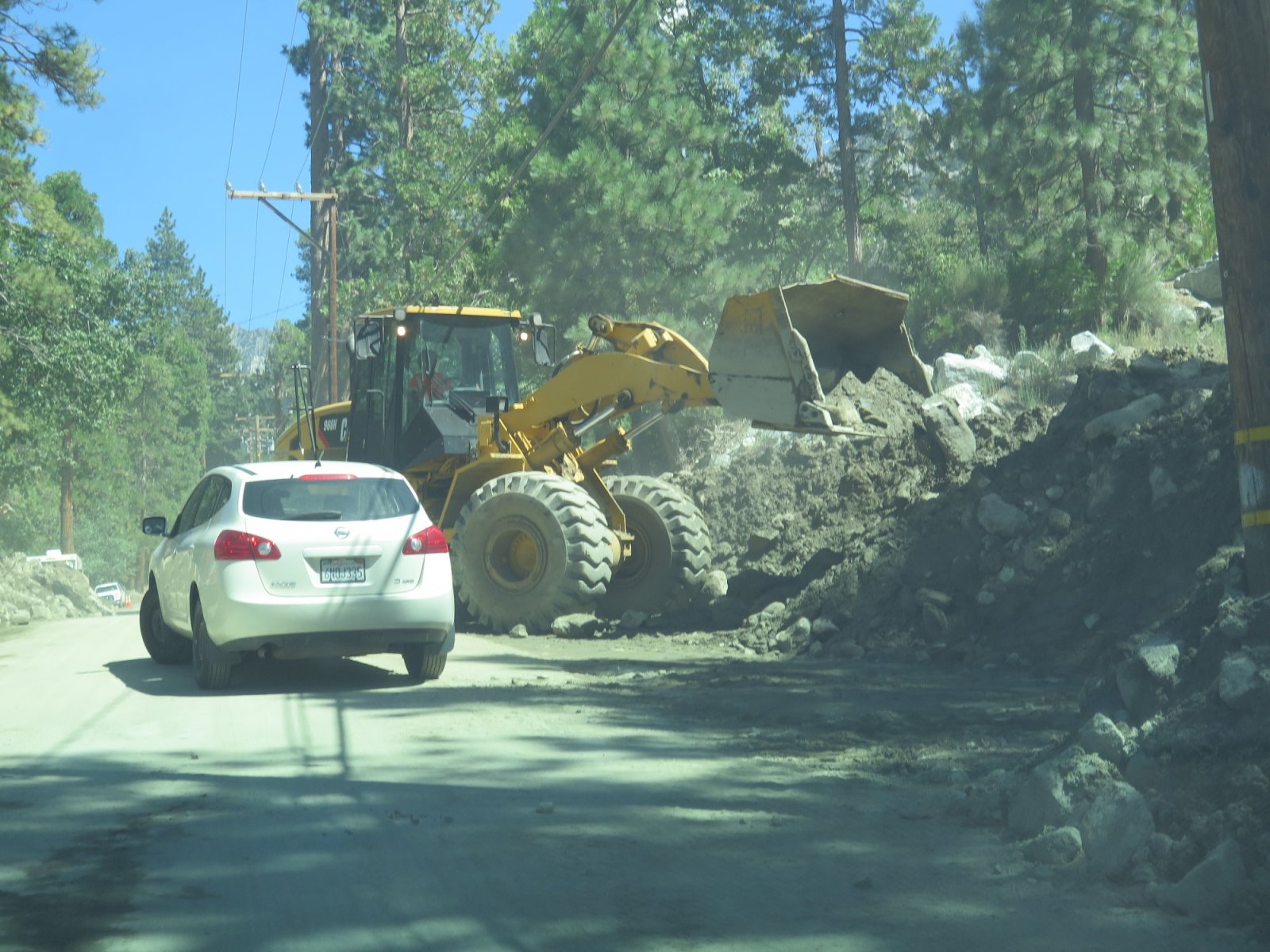
From that spot the most accessible mountain area was Forest Falls, which had been in the news for some mudslides. There was a short flagman controlled section where debris was still being cleared.
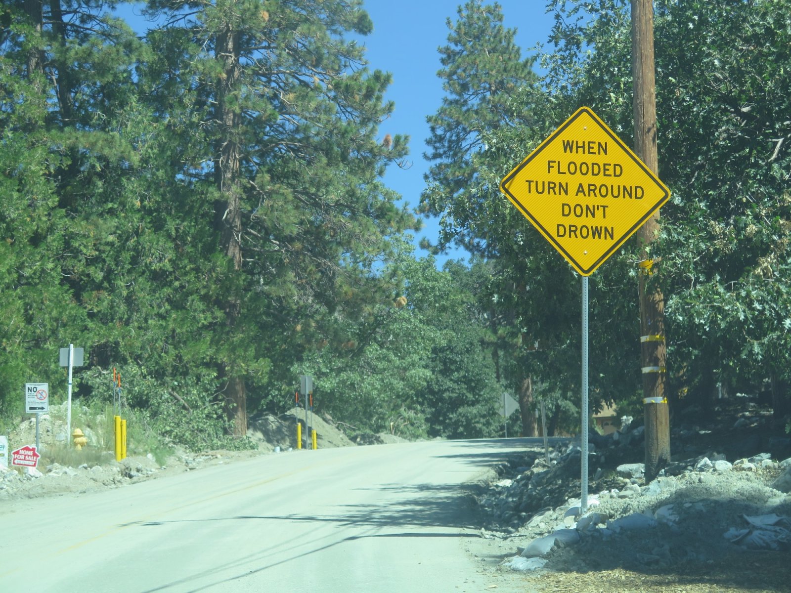
Several of these signs had been installed last weekend.
I drove through Forest Falls to the trailheads at the end of the road, circled in red on this map.
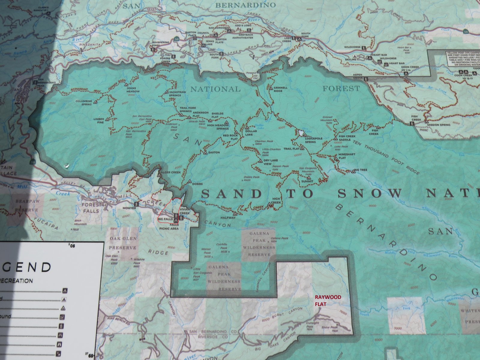
At the bottom of the map I've marked Raywood Flats, one of the spots tseeb referenced with double digit rainfall. Another one, Upper Mission Creek, is a few miles off the east edge of the map.
The Vivian Creek trailhead is the most direct route to San Gorgonio, but it's very strenuous, 5,500 vertical in 9 miles. I hiked down that trail in July 1999, which is another interesting story. I may try to hunt down any film prints from that day.
The generically named Big Falls is just a short stroll of less than half a mile shown on this map.
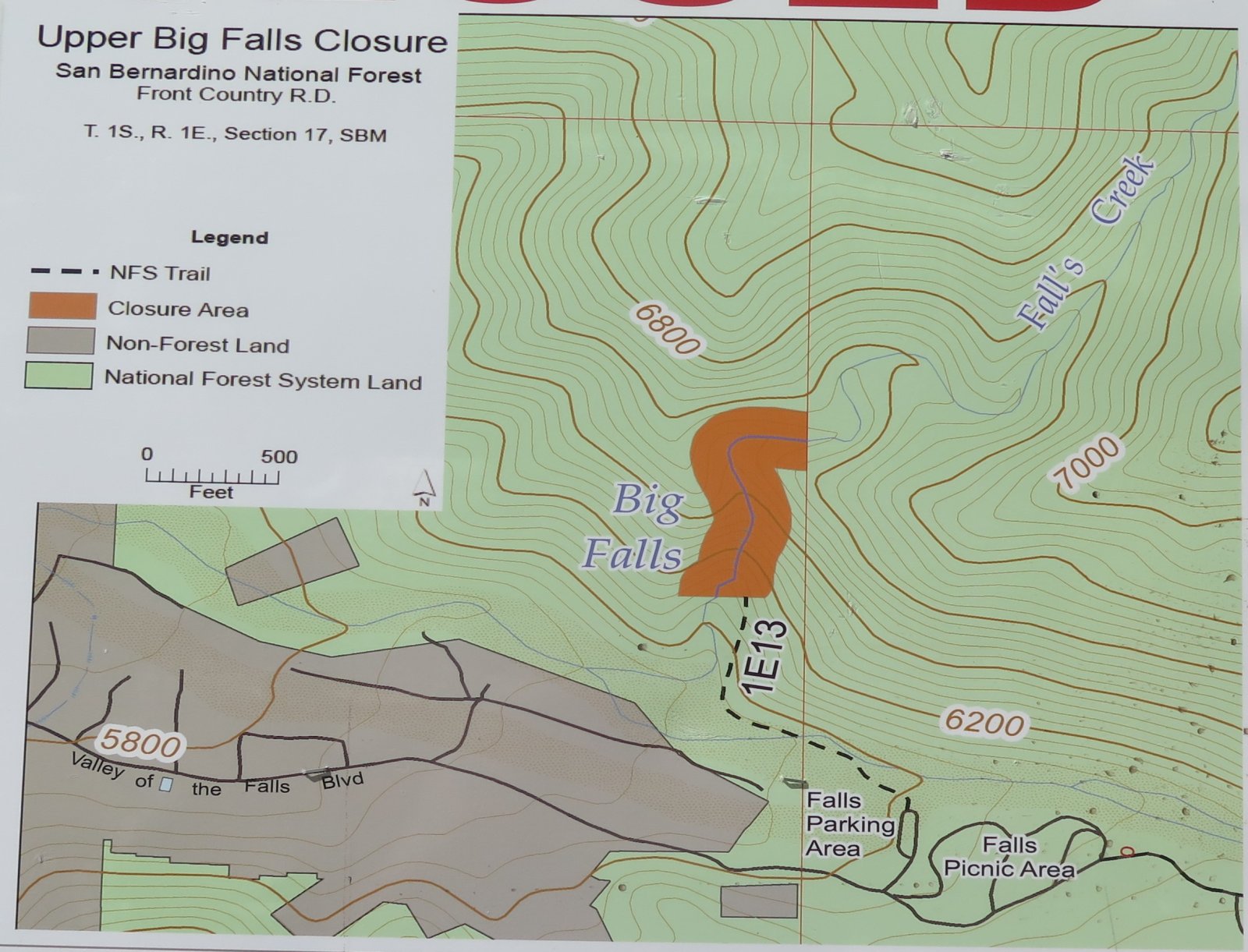
If there is any time Big Falls would live up to its name, it would surely be now.
Liz could probably have done this with me except that the beginning of the trail along Mill Creek had been buried by the flash flooding Sunday/Monday.

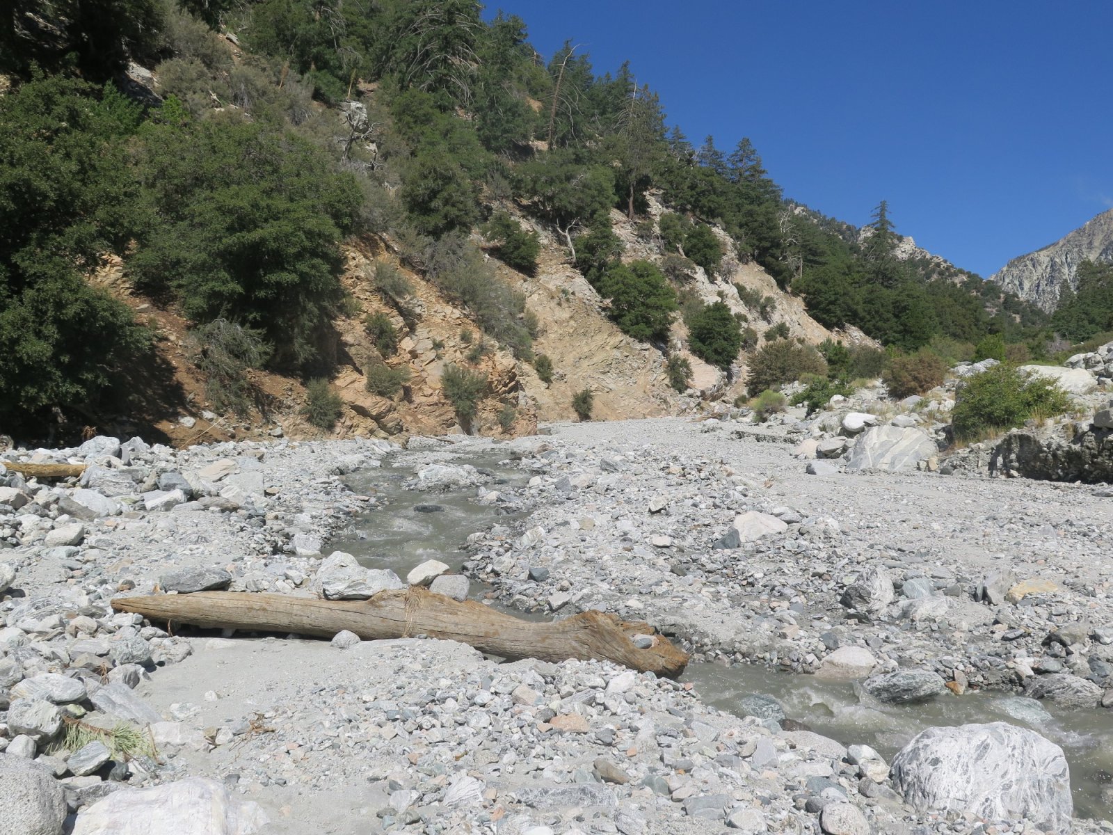
A local woman said those boulders in the foreground were brought down by the flood.
Crossing Mill Creek without getting wet meant using this log.
Here's the bottom of Falls Creek.
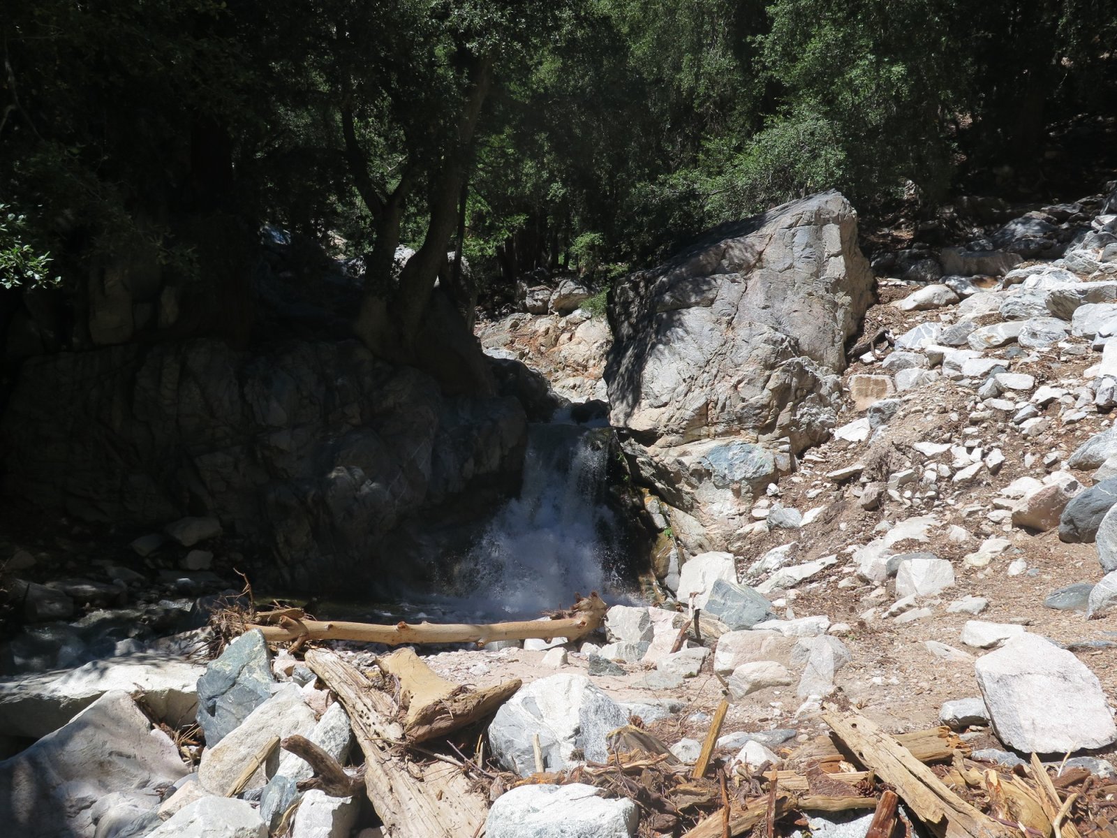
Falls Creek probably has permanent water as it originates at High Meadow Springs, 4,000 feet above. I hiked past High Meadow Springs on my first venture into the San Gorgonio Wilderness in July 1979.
View along the trail:
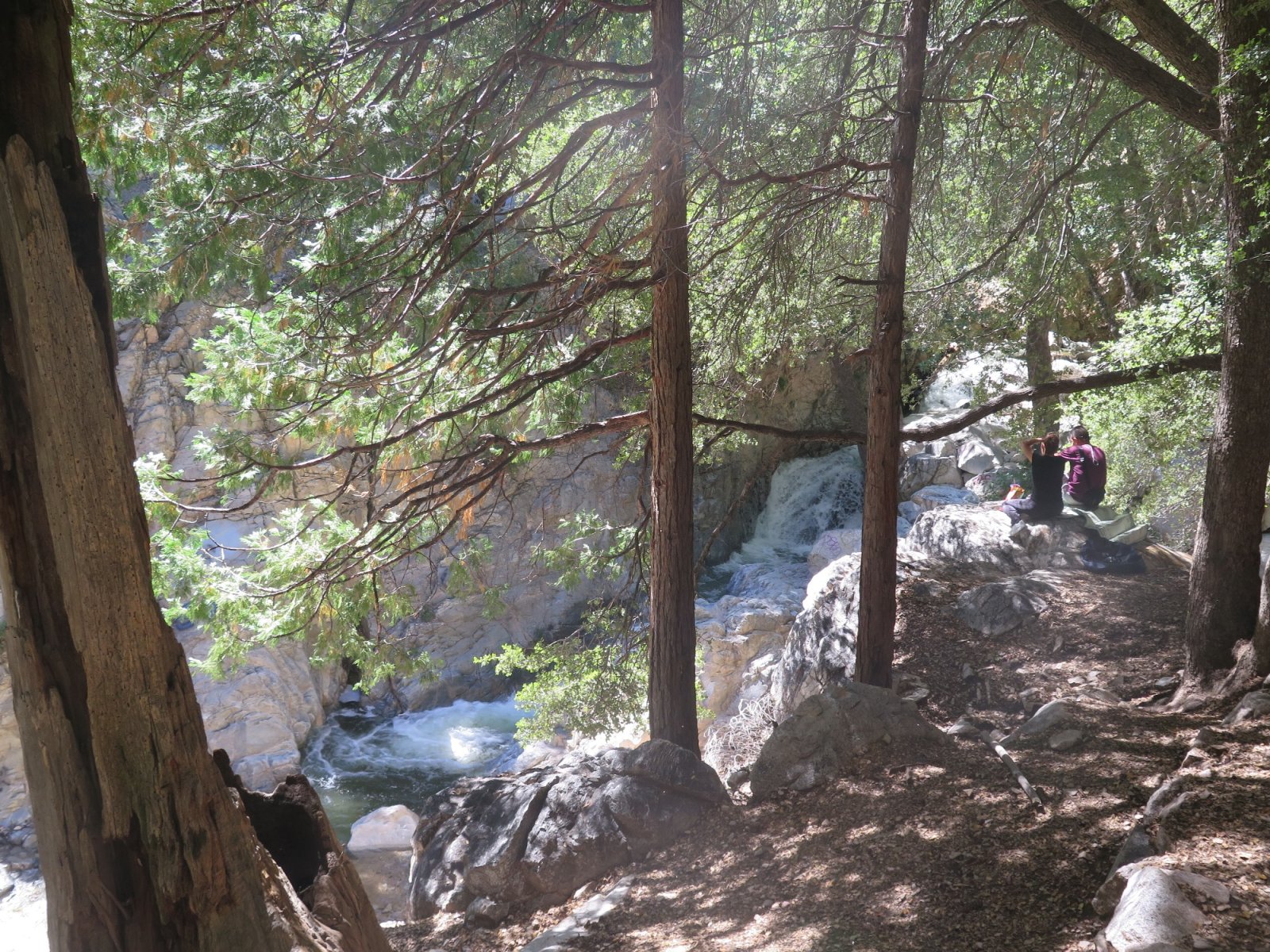
The trail ends at this railing viewpoint.

I scrambled below and a bit past for better views.
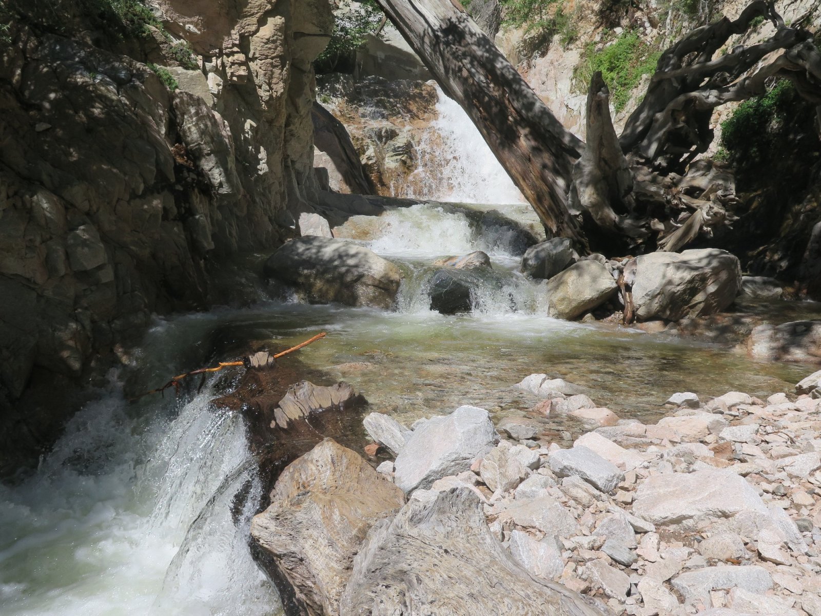
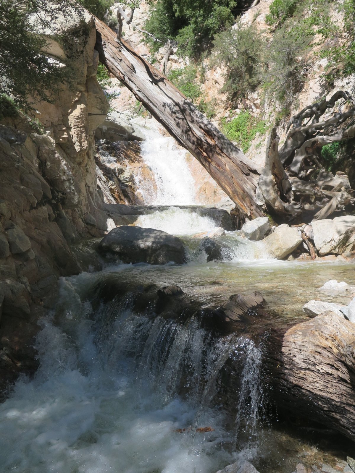
Overview with upper fall as well as the close in cascades:
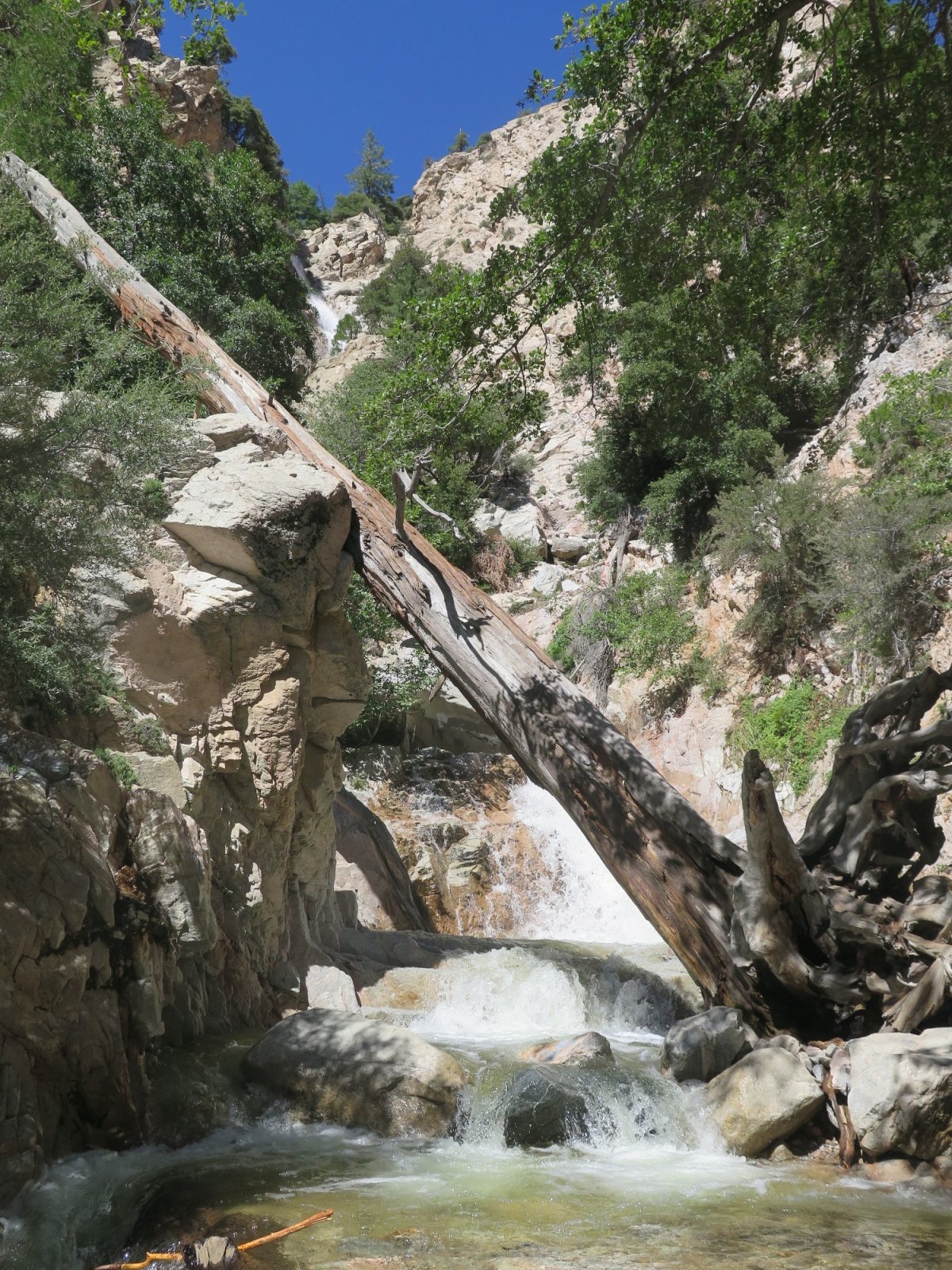
Zoom of upper fall:

View back to railing viewpoint:

I arrived below Seven Oaks Dam around 2PM and departed Forest Falls a bit after 4PM.
So I parked near the Santa Ana River bridge for this view with the dam in the distance.
Zoom of dam:
The high peak in far background is close to Snow Valley's Slide Peak.
The public closure may have done me a favor. It was 100F out there and a walk up that 550 foot dam would have been tough.
From that spot the most accessible mountain area was Forest Falls, which had been in the news for some mudslides. There was a short flagman controlled section where debris was still being cleared.
Several of these signs had been installed last weekend.
I drove through Forest Falls to the trailheads at the end of the road, circled in red on this map.
At the bottom of the map I've marked Raywood Flats, one of the spots tseeb referenced with double digit rainfall. Another one, Upper Mission Creek, is a few miles off the east edge of the map.
The Vivian Creek trailhead is the most direct route to San Gorgonio, but it's very strenuous, 5,500 vertical in 9 miles. I hiked down that trail in July 1999, which is another interesting story. I may try to hunt down any film prints from that day.
The generically named Big Falls is just a short stroll of less than half a mile shown on this map.
If there is any time Big Falls would live up to its name, it would surely be now.
Liz could probably have done this with me except that the beginning of the trail along Mill Creek had been buried by the flash flooding Sunday/Monday.
A local woman said those boulders in the foreground were brought down by the flood.
Crossing Mill Creek without getting wet meant using this log.
Here's the bottom of Falls Creek.
Falls Creek probably has permanent water as it originates at High Meadow Springs, 4,000 feet above. I hiked past High Meadow Springs on my first venture into the San Gorgonio Wilderness in July 1979.
View along the trail:
The trail ends at this railing viewpoint.
I scrambled below and a bit past for better views.
Overview with upper fall as well as the close in cascades:
Zoom of upper fall:
View back to railing viewpoint:
I arrived below Seven Oaks Dam around 2PM and departed Forest Falls a bit after 4PM.
Technically not true. 1939 was unique in that the storm made landfall on the SoCal coast. Hilary was the sixth tropical storm since then to make landfall in Baja but still have tropical storm gale force winds when it crossed into California on land. In terms of rainfall pattern, intensity and damages, Hilary was very similar to Kathleen in September 1976.Last tropical system to hit socal was in 1939.