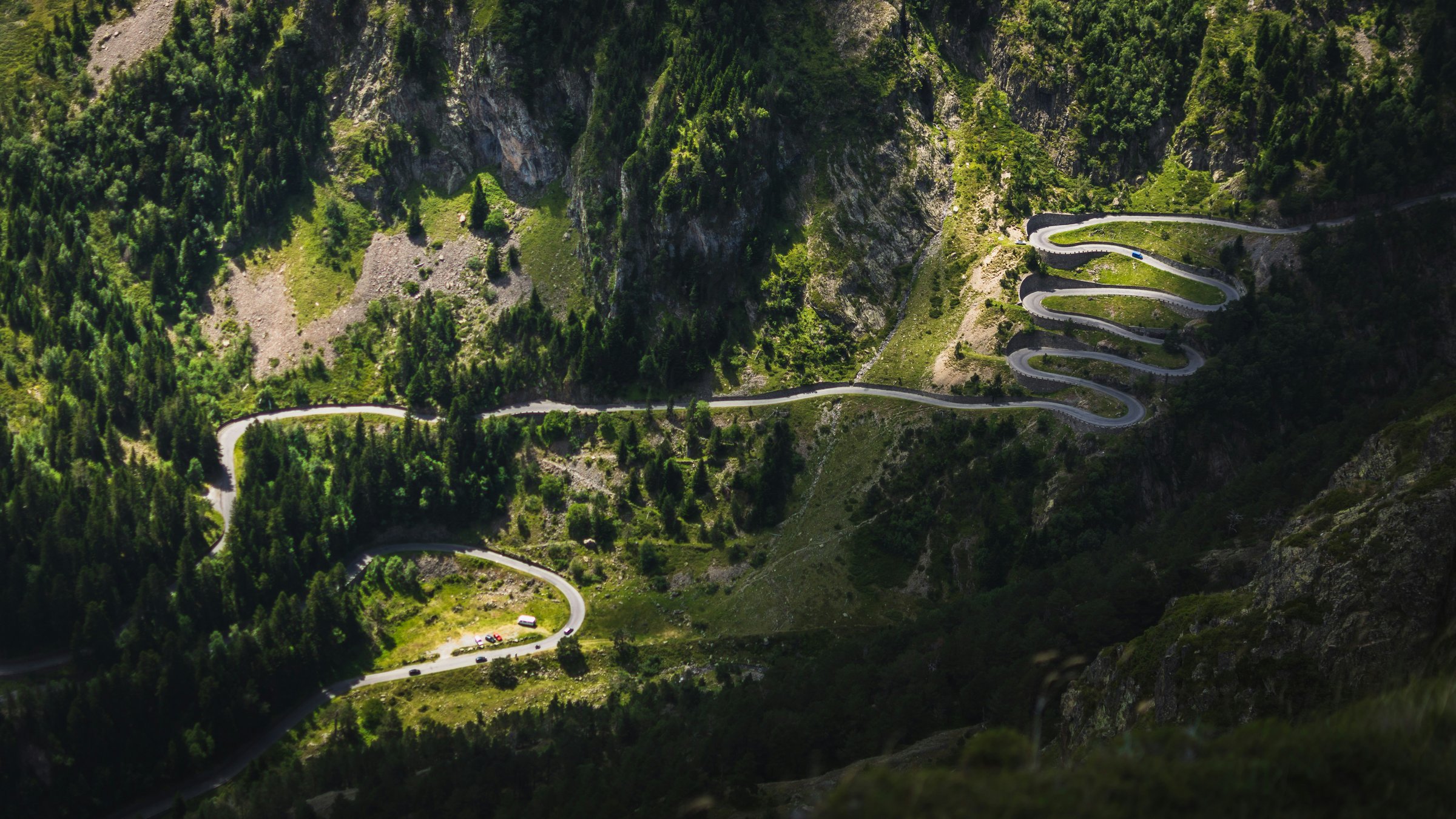
Our trip started in Bilbao, Biarritz and Lourdes. We then spent two nights in Andorra. The drive from Lourdes to Andorra via scenic mountain roads took about 5 hours with a few sightseeing stops.
This route took us by Baquiera-Beret ski area, first view approaching it from the west.

There is a canyon below the resort, some of the ski terrain is at upper left in the pic below.

Views are obscured driving through the resort by the hotels and trees. Here’s a trail map from one of the lodges where we had a brief pit stop.

View SW to Aneto, highest peak in the Pyrenees at 11,184 feet, with some snow remaining.

The ski lifts at all the areas AFAIK top out around 8,500 feet. Snow is fairly reliable above 6,500, with a few snowmaking trails dropping down to base areas as low as 5,000.
The road climbs to a 6,700 foot pass at Bonaigua, where some horses were on the road.

Bonaiga is at the eastern edge of Baqueira with lots of wide open ski terrain.
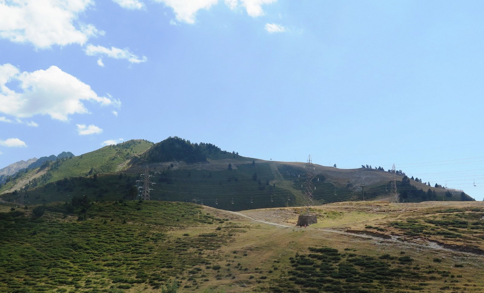
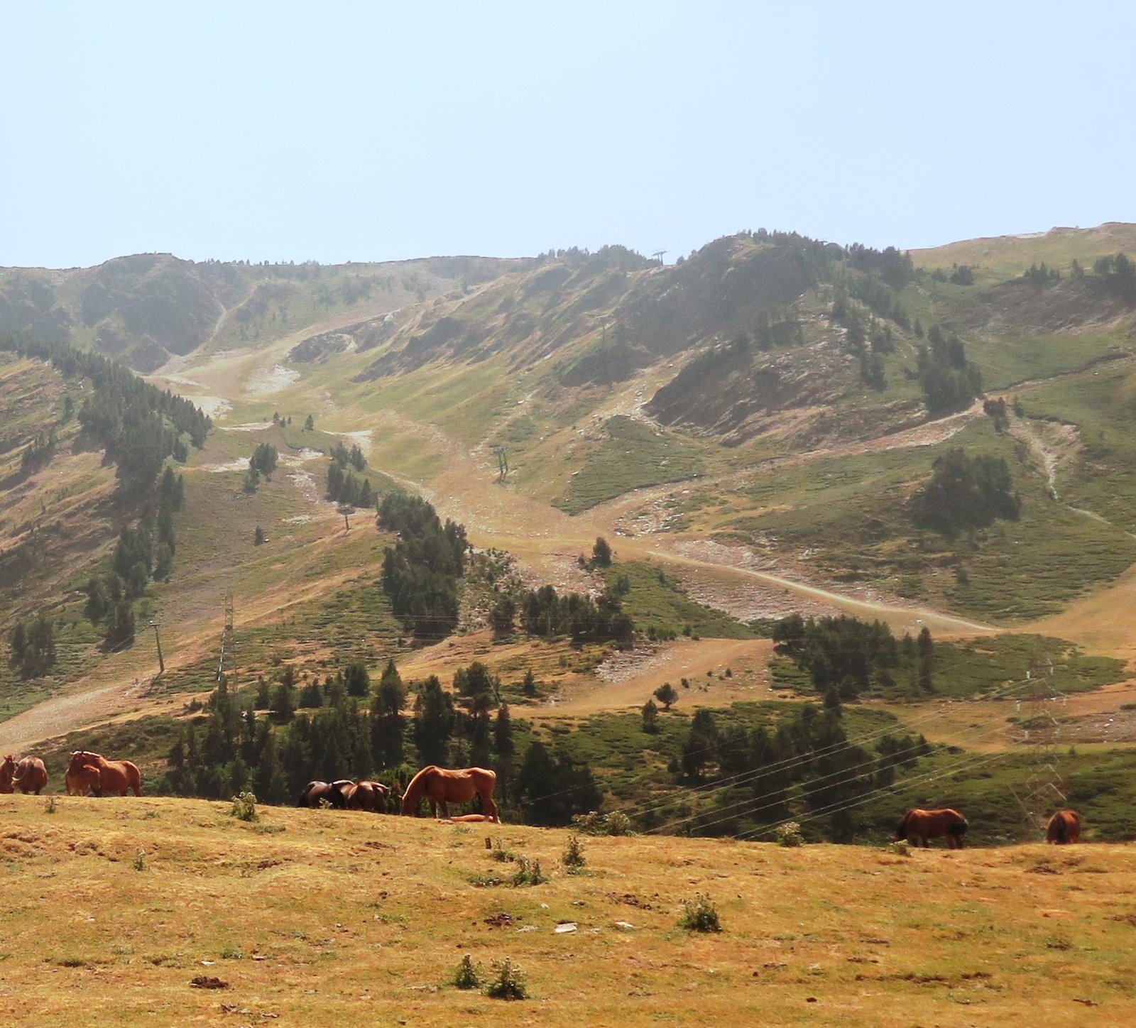
Both Liz and I think Baquiera has the most interesting ski terrain in the Pyrenees. I’d guess 3,000+ acres of usable skiing with a decent snowpack.
We arrived in the bustling resort town of Andorra La Vella about 6PM July 28.

The Grandvalira ski lifts sprawl across the center of the map. On July 29 Liz and I hiked Llac de Pessons for 4.5 hours, area circled in red lower right. I’ll do a separate TR on that.
At the start of the hike was a map of e-bike trails in Grandvalira.

FYI the Vanat Report says Grandvalira does over 1.5 million skier visits per season. Baquiera is not on that 1+ million list, perhaps another reason to prefer it.
Coming down from our hike, we get a good view of the lifts and terrain out of the Grau Roig base on the eastern edge of Grandvalira.
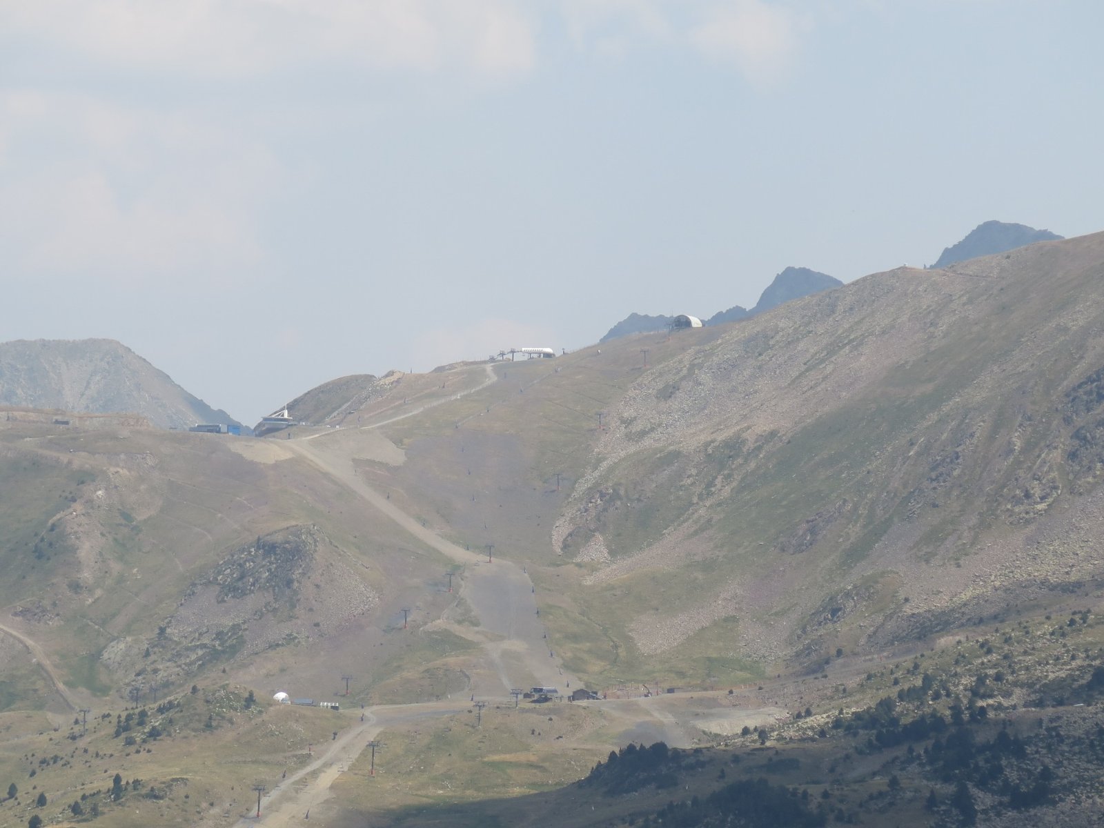
After our lunch we had to hike down the road where we rode the 10AM bus up because the 4:30 bus no showed. This trail looks like it hosts some ski races.
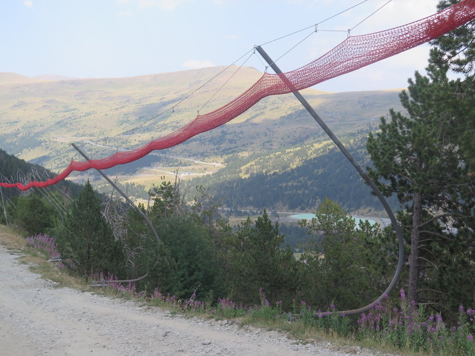
At center right you can see the pale green of a snowmaking reservoir.
The end of the walk down is close to a chairlift.
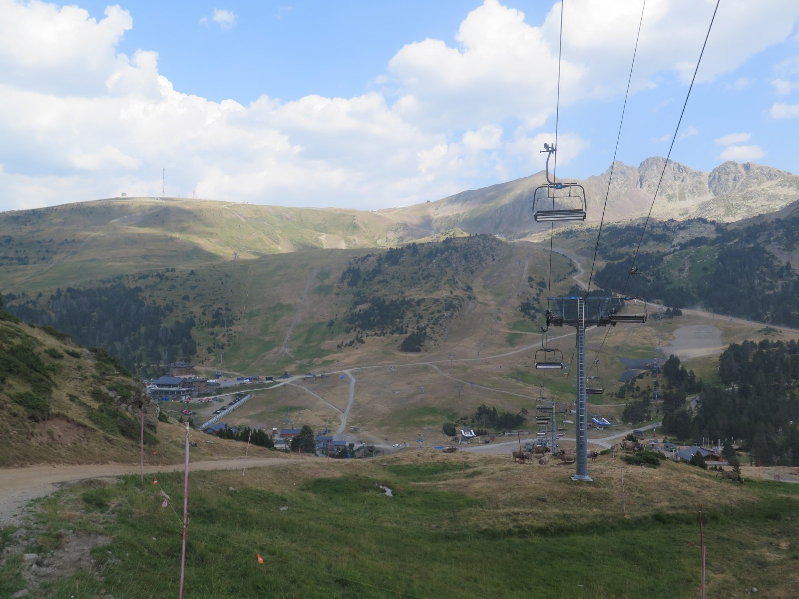
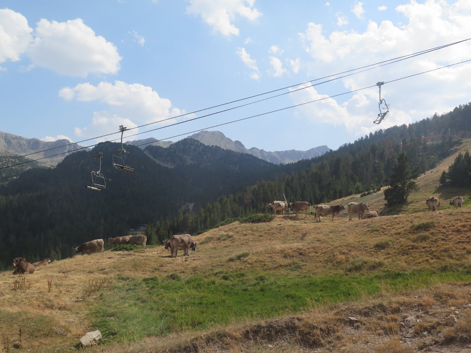
Grazing cows under the lift:
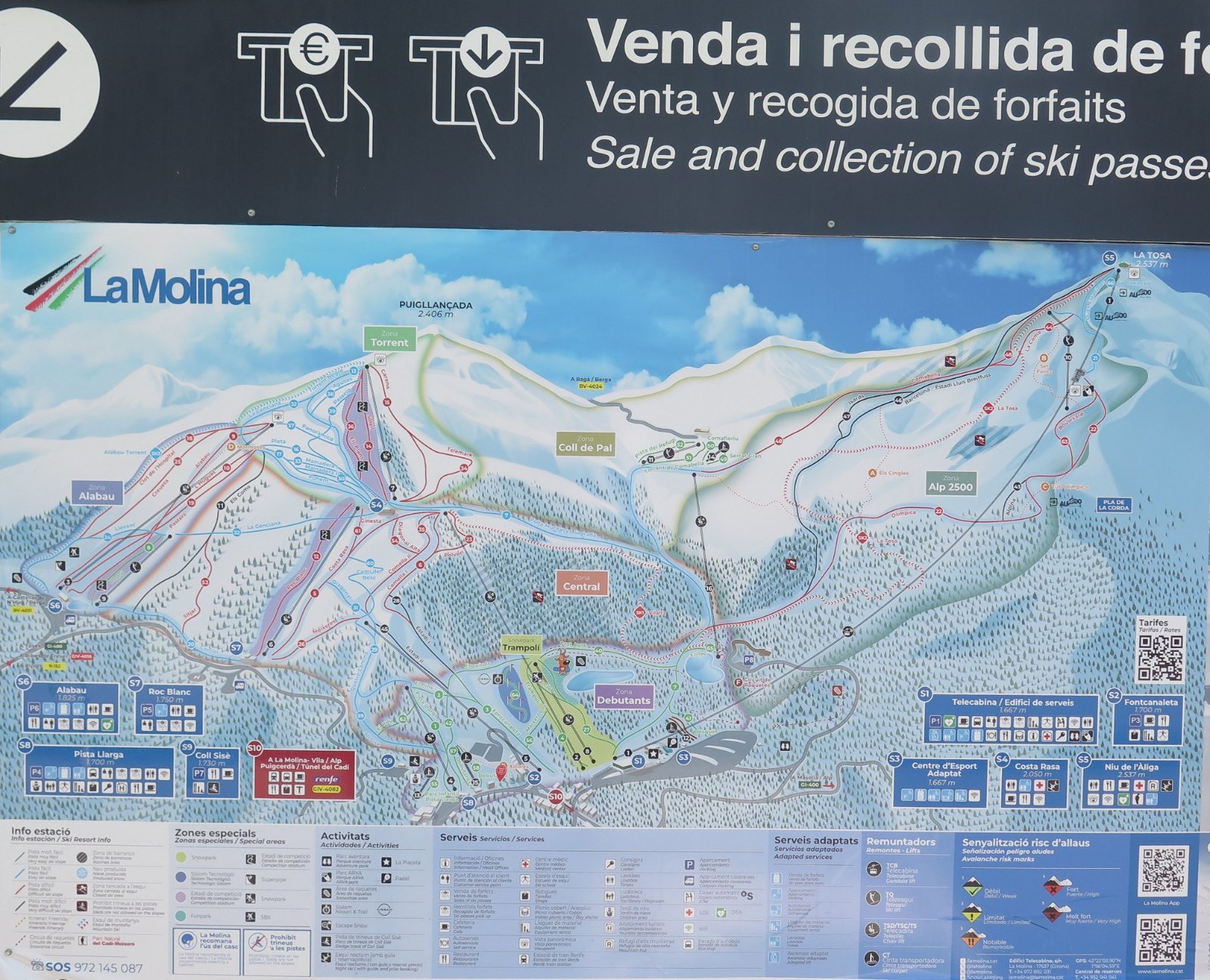
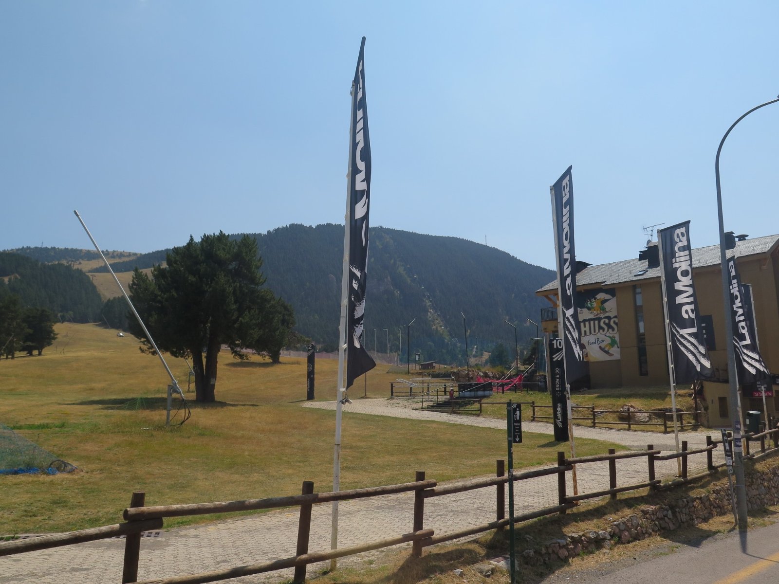
On July 30 we drove from Andorra to the Costa Brava on another twisty mountain road. This drive passed by the La Molina ski area.

For a Pyrenees ski trip the gateway airport would be Toulouse. Both Grandvilara and Baquiera-Beret are about 2.5 hours drive from the airport. The drive between the two big resorts is 3 hours 15 minutes for 162km, which gives you an idea of the roads.
This route took us by Baquiera-Beret ski area, first view approaching it from the west.
There is a canyon below the resort, some of the ski terrain is at upper left in the pic below.
Views are obscured driving through the resort by the hotels and trees. Here’s a trail map from one of the lodges where we had a brief pit stop.
View SW to Aneto, highest peak in the Pyrenees at 11,184 feet, with some snow remaining.
The ski lifts at all the areas AFAIK top out around 8,500 feet. Snow is fairly reliable above 6,500, with a few snowmaking trails dropping down to base areas as low as 5,000.
The road climbs to a 6,700 foot pass at Bonaigua, where some horses were on the road.
Bonaiga is at the eastern edge of Baqueira with lots of wide open ski terrain.
Both Liz and I think Baquiera has the most interesting ski terrain in the Pyrenees. I’d guess 3,000+ acres of usable skiing with a decent snowpack.
We arrived in the bustling resort town of Andorra La Vella about 6PM July 28.
The Grandvalira ski lifts sprawl across the center of the map. On July 29 Liz and I hiked Llac de Pessons for 4.5 hours, area circled in red lower right. I’ll do a separate TR on that.
At the start of the hike was a map of e-bike trails in Grandvalira.
FYI the Vanat Report says Grandvalira does over 1.5 million skier visits per season. Baquiera is not on that 1+ million list, perhaps another reason to prefer it.
Coming down from our hike, we get a good view of the lifts and terrain out of the Grau Roig base on the eastern edge of Grandvalira.
After our lunch we had to hike down the road where we rode the 10AM bus up because the 4:30 bus no showed. This trail looks like it hosts some ski races.
At center right you can see the pale green of a snowmaking reservoir.
The end of the walk down is close to a chairlift.
Grazing cows under the lift:
On July 30 we drove from Andorra to the Costa Brava on another twisty mountain road. This drive passed by the La Molina ski area.
For a Pyrenees ski trip the gateway airport would be Toulouse. Both Grandvilara and Baquiera-Beret are about 2.5 hours drive from the airport. The drive between the two big resorts is 3 hours 15 minutes for 162km, which gives you an idea of the roads.
Last edited: