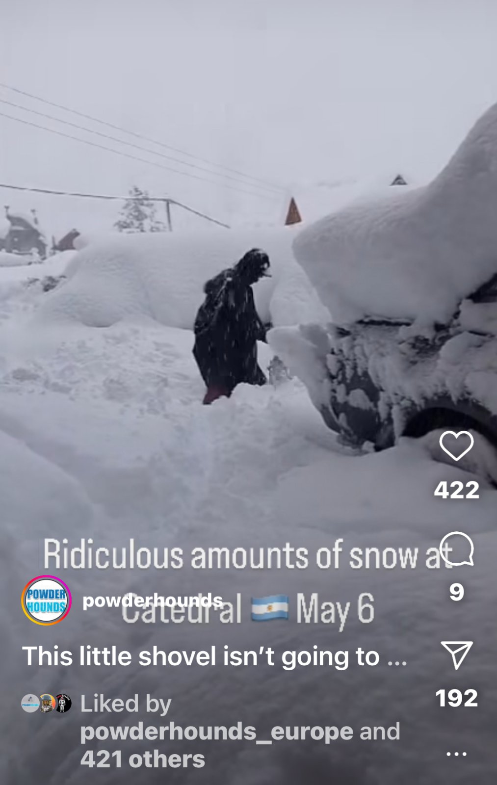
There is some serious snow coming to Northern Chile and Argentina.
South America Daily Snow
By Luke Stone, Forecaster
Posted 10 hours ago
June 10, 2024
Major Storm Cycle Underway
Add to Favorites
Subscribe by Email
Summary
The first cold(er) phase of this storm cycle brought solid snow totals to the northern zone this weekend. The fire hose is turned on and aimed at the Andes for the foreseeable future, though warm air will present problems during this time. Some hope for better-quality snow will exist next week.
Short Term Forecast
As temperatures cooled off a little bit this weekend the northern zone received a solid round of snow, with 10 - 20 cm at most resorts. La Parva received 15 - 20 cm while Valle Nevado got 20 cm. The snow was on the denser side but it was nevertheless one of the first real powder days of the year.
We remain in a very active and wet pattern with a storm cycle that will likely last beyond the middle of the month. This storm cycle is still expected to be warm overall, but a few colder periods are possible where the snow quality should be better. Massive rain and snow totals will fall during this time, as several storms move through the region.
We'll take the storm starting today and lasting through Saturday as the next in the series. From Sunday through Monday, another storm is expected, and then one more long-duration event from Monday through the end of the week. These later storms are still a ways out, so the timing may change a bit before then.
A strong and deep area of low pressure is developing offshore and will stall there for several days. While it does so, it will direct an atmospheric river into the region for an unusually long time, through Saturday morning, as you can see below.
The tricky part of this forecast is the snow levels, as there will be periods where they rise and fall over the next six days and beyond. The high levels of moisture in the atmosphere as well as the intense precipitation rates associated with atmospheric rivers can make snow level forecasts more challenging.
This system will push a warm front through the area from Monday to Tuesday and snow levels will remain high through Tuesday night/Wednesday night. A cold front will move in from the south around Tuesday night in the southern/central zone and reach the northern zone Wednesday night. Before the cold front, snow levels should be above the base elevations of most resorts. After the cold front, they should be around or just below most resort bases.
As mentioned, the next storm in this series is packing a huge punch of moisture with this long-duration atmospheric river. Below are the expected precipitation totals during this time. A large area of 10 - 20 cm of water is forecast just from this next storm through Saturday, with isolated areas approaching 25 cm.
Snow totals will be impressive as well, especially in the north. Given the fluctuating snow levels, I expect a wide range of 1 - 2 + m for the northern zone and Nevados de Chillan as well. Snow totals will drop off sharply at lower elevations and at lower elevation resorts overall
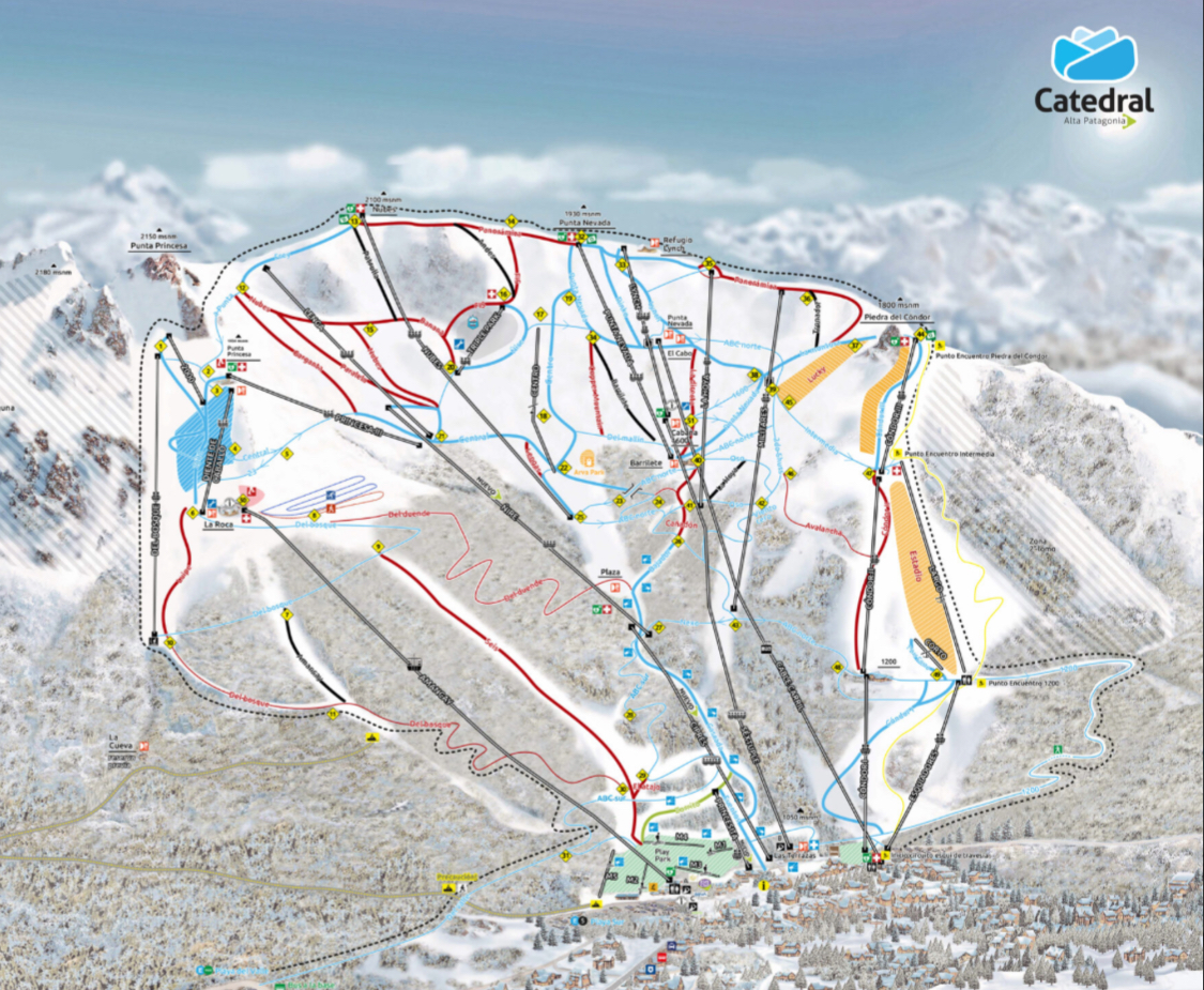
At higher resorts in the central zone like Corralco and Antuco, .75 - 1.5 m is possible. Farther east in Argentina (Cerro Catedral, Chapelco, Caviahue) and at lower elevation resorts like Pucon, Las Araucarias, and Antillanca in Chile, mid and lower mountain totals could be significantly less. Minor changes in the snow levels could make a big difference in the elevations that see massive snow totals or mostly rain.
Winds will be an issue during this storm as well, particularly in the central zone. The northern zone will see strong winds too, and overall they won't die down until around Friday.
Conditions will be pretty messy through Wednesday, with better possible powder days Thursday through Saturday, especially in the northern zone given the higher elevations. With the incredibly high rates of precipitation and snow totals, we will likely see road and terrain closures during this time.
We should have at least somewhat of a lull Saturday afternoon through Sunday afternoon, but that may not be enough time to dig out. The next storm is expected to begin Sunday night and we may not see another break in the action until later next week. The middle and latter part of next week may feature a much colder air mass with better-quality snow, resulting in bigger snow totals at some of the resorts seeing more rain this week. That's still more than a week out though, so I'm not locking in that colder phase just yet.
Extended Forecast
There isn't any clear sign of a break in this active weather until the third week of the month. We'll have to keep an eye on this period as well though, as any break we do see may be short-lived.
Next update on Wednesday.
Thanks for reading the South America Daily Snow!
Luke Stone
Forecaster, OpenSnow


