Western North America Conditions 2025/26

It's almost MLK Weekend, and Deer Valley's snowmaking system has not really accomplished much.
No snowmaking system in Utah or Colorado has accomplished all that much this particular year. But it was and is extremely forecastable that that section of new terrain was both 100% snowmaking dependant and that that area/altitude has warm temps in the early season on a regular basis. Not a good combination which is why that expansion has been so widely panned as stupid.
 
Good call. This storm is so warm it is forecast even to rain halfway up Panorama and Kicking Horse. Those areas got lots of December snow when it was raining more west of Rogers Pass.
Made it to LL today and it was definitely the right choice. Woke up crazy early and made the not fun drive over Rogers pass. LL had 14 inches in the last 24 hrs of winter snow. I think west bowl was closed yesterday as it was skiing deep and didnt track out. I was finding untracked up until 1pm. Temps are certainly warm as the car said +2C in the parking lot at the end the day. Normally this time of year temps at LL are -20. Now I am concerned about my Mustang Trip on Friday. However I just spoke to them. Apparently at Mustang lodge level they had all snow, although, heavy wet snow. It supposed to cool off some later in the week. I am not sure if the snow will recrystalize or if it will form a crust. Lets hope I am not skiing a breakable crust for 3 days.

IMG_9257.jpeg


IMG_9254.jpeg
 
Did some lower altitude Cat operations and lower Heli-Ski terrain get impacted by this warm-up?

A 2700 rain/snowline in British Columbia in mid-January??!!

Revelstoke Snow Report from January 13th:
Overnight there was some frozen precip in Revelstoke at 600m. Top of Rogers pass at about 1200 m had slush on the road. I dont think rain snow line was this high.
 
Deer Valley has lots of "Snowmaking in Progress" icons all over its Live Map. However, webcams do not show much snowmaking, maybe still too warm.

It's interesting that there is not a single Deer Valley webcam showing Deer Valley East (it's likely ugly and uninspiring). Instead, the point is a single cam eastward from the top of Bald Mountain / Sultan Lift. Too brown, lower down.


1768349486416.png
 
Deer Valley has lots of "Snowmaking in Progress" icons all over its Live Map. However, webcams do not show much snowmaking, maybe still too warm.

Too warm. I checked temps on the Park City site earlier and all of them were above freezing.

Closer to home, I was looking at the Whistler webcams earlier. It was depressing. The alpine is covered in rain runnels. 😭

I’m supposed to go touring in the Whistler backcountry next week, staying in the Kees and Claire hut for three nights. It’s not looking good.
 
Apparently at Mustang lodge level they had all snow, although, heavy wet snow.
The lodge is at 5,700 and alpine terrain goes up to 8,000. You are in the situation that occurred during much of 2014-15. If the weather is clear enough to ski the alpine as I did in 2015, you will be OK. Many 2015 tours that were confined by weather/visibility below tree line sucked though.
 
Last edited:
I saw Whitewater was reporting a 3300m freezing level yesterday on its Snow/Weather Report. Today it's a 2600m freezing level with summit temperatures at nearly 3 °C (37 °F) at 6 AM local.


1768403447869.png
 
After skiing at Lake Louise a second day that included blue skies, I can confidently state that the coverage is the best that I have ever skied there. Back bowls are really remarkable. Someone I rode a lift with said he was skiing lines today that he hasn’t skied for 40 years purely due to the snow cover. I found lots of nice smooth windsift in the whitehorn chutes today.

IMG_9262.jpeg
 
Last edited by a moderator:
Deer Valley has lots of "Snowmaking in Progress" icons all over its Live Map. However, webcams do not show much snowmaking, maybe still too warm.
Utah is the warmest ski region of the Rockies, and the Wasatch Back is obviously warmer than the higher Cottonwood Canyons.

AFAIK no one in western North America has more than about 700 acres with snowmaking pipes. This is not the Dolomites, SkiWelt or Saalbach.

I'd guess that with the expansion Deer Valley has more than 700 acres with snowmaking. But there is is still the question of water. Can Deer Valley draw unlimited water from Jordanelle Reservoir as Big Bear does from its lake? But Big Bear has only 450 acres of ski terrain while Deer Valley claims 4,300 for 2025-26. I see Mt. High style triage happening at Deer Valley. They will use their snowmaking to maintain the higher and better exposed Bald and Flagstaff mountains and not expand to the more problematic new terrain until that upper core terrain is secure.
 
Any rain at Whitefish early this week as in Washington and much of B.C.? Summit shows no increase in season-to-date since last Saturday.

Schweitzer (still only 52% open) reports one inch new snow since Saturday and I think we can read between the lines here:
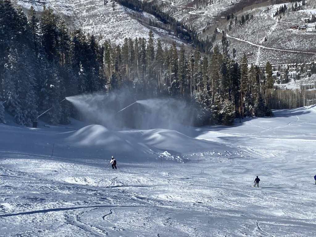
Early in the day, groomers are smooth, then they soften up towards the afternoon. On my laps, I stuck to the groomed terrain as the off piste is somewhat unpredictable.
None new at Brundage (Snowave?):
Snow conditions are staying consistent and super enjoyable. Groomers will be firm and fast early, then soften up as the sun works its magic, creating that sweet spot of edgeable, forgiving snow that makes carving feel effortless.
Sounds good in April; in January I'm a bit suspicious, especially that far north. I have seen rain induced corn (at Baldy) but it's rare.

Red Mt. at least got 6 inches of snow, but I'm sure that's not all.
Temperatures are still hovering around the 0° mark, meaning the snow may initially feel a little hard packed in the morning. As this freeze-thaw cycle continues, we remind you to ski and ride responsibly.
Castle got 4 inches but Alberta OpenSnow says all rain there the last two days while Louise and Sunshine got dumped on again.
Spring-like conditions should be expected again today, starting off on the firmer end of things and softening a bit as the day goes on. This may only stand to be true on the lower mountain today, however, as we're expecting slightly cooler temps today.
I've skied Castle enough to know that "spring-like conditions" in January are not due to sun and warmth.

Whistler got dumped on last weekend (23 inches) but OpenSnow forecast
rain likely reaching the summit by the end of the day
on Monday.

Crystal reports no new snow and has decreased from 68% to 35% open since last Saturday.
We had another day of high pressure with warm temperatures. Sunny aspects were soft while shaded terrain is holding making it very firm and fast.
Hood Meadows like Crystal has a bit more candor.
The groomers have stiffened back up this morning into a hardpack / frozen granular base, but expect them to quickly transition back to a soft pack later this morning and afternoon. Off piste is skier-packed powder and hardpack with moguls in some areas and will also quickly soften up under warm and mild skies.
Bachelor had no new snow but may have been far enough south to escape the rain. But a 30 inch base in mid-January is outlier low tide there. In 53 years Bachelor's average Dec. 31 base is 75 inches with only 3 seasons under 30.
Northwest is now open for the season. Early season conditions will be present, and there will be no groomed runs off of Northwest. West Bowls will remain closed, awaiting more snow. It is recommended that only advanced skiers/riders enter this terrain. Please stick to open/named runs, expect marked and unmarked obstacles, and ski or ride with caution.
Sort of like A-Basin opening Pali this week too.

No question the most forbidden four letter word in a ski report is the R-word. :icon-razz: These Northwest ski areas do not seem likely to get resurfaced by new snow in the near term. Let's hope the dry spell doesn't last over a month as after the Tropical Punch rain in January 2005.
 
Last edited:
I am now at Mustang lodge. Haven’t skied yet. Snow is firm at lodge level. Apparently today’s group had fun, but did not describe the snow as powder.
 
Any rain at Whitefish early this week
Not really at the mountain, maybe some light stuff in the base area. Conditions, though, are hard and fast. Yesterday, things were starting to soften in the sun around 10:45. Today was a mere 4° colder and aside from the chair 2 area, pretty much nothing was softening until maybe after I left at 1. Tomorrow will be colder, but I'm hoping that improves the grooming results. My first 30 years were spent skiing hard pack, so conditions are fine from my perspective, but the slopes are empty.
PANO_20260115_144012.jpg

PANO_20260115_144251.jpg

PXL_20260115_162847272.jpg
 
Colorado's record-setting year continues for all the wrong reasons. And does anyone in the Rockies really remember, or were alive & skiing CO during winter 1976-77? This is once-in-a-generation event, winter!

Vail likely not to open its Back Bowls until February?!


Vail Mountain now facing worst snowpack in recording station’s 47-year history
Mountain passed into lowest on record for this time of year on Jan. 13
  • Vail Mountain has officially hit the lowest snowpack for this point in the season in the 47-year history of its SNOTEL monitoring site.
  • As of Jan. 13, the mountain measured just 4.4 inches of snow-water equivalent, edging past previous drought years such as 2017–18 and 2012.
  • Meteorologist Joel Gratz had predicted the record-low conditions, noting that while recent snowfall helped open more terrain, dry weather is expected to persist through much of January, with a chance of snow later in the month.
  • The unusually low snowpack is also delaying the opening of Vail’s Back Bowls, potentially making this one of the latest openings on record.
  • Resort officials remain hopeful for stronger snowfall in the typically snowier late January through March period, while continuing snowmaking and incremental terrain openings in the meantime.
  • While Vail Mountain spokesperson Lee Nielsen said the mountain has always been able to open the Back Bowls at some point, she concurred with Gratz in saying the rest of January isn’t looking likely.

One argument Vail put forward in its rationale for the Blue Sky Basin expansion was the ability for it to open earlier than the original Back Bowls and China Bowl, since they were north-facing, and not south-facing. Operationally, Vail has never pursued this strategy.


So now, the Pacific and Inland Northwest from Revelstoke to McCall, and from Whistler/Crystal Mt/Mt Hood to Bridger Bowl, all have "Variable" / problematic surface conditions. Looks like only Banff was spared.

And outside of California, you are most likely sitting in a record-setting drought zone.

Even Jackson Hole & Targhee look suspect: Targhee's snow base has declined by more than 12" in the last week, and Fred's Mountain 10k summit report indicated above freezing temps on January 13/14th.


1768580315237.png

View attachment 48806
 

Attachments

  • 1768563335543.png
    1768563335543.png
    2.5 MB · Views: 5
Last edited:
Utah is firming up too with an extended dry, sunny period that began on 11 Jan, although fortunately the Cottonwoods received close to 60" from the 1st to the 10th. I skied Solitude on 14 Jan 2026. Almost all terrain is open there except Honeycomb Canyon. I had a fun morning with free, unreserved (M-Th) parking very close to the base of the Eagle 6pack Chair. Most runs beside Eagle chair were firm-ish, but edgeable with some fun, softer snow on the edges. Sunshine Bowl skied quite well as did some runs off the Summit and Sunrise chairs.
14 Jan 2026 Solitude:
view from top of apex chair
solitude 14 jan 2026 view from apex chair.jpg


Summit chair lift line about halfway up:
summit lift soli 14 jan 2025.jpg


View of Solitude Village from the slopes of Sunrise area:
soli village 14 jan 2026.jpg


15 Jan 2026, Snowbird, UT. I'm biased, but I thought conditions are holding up a bit better at Snowbird. The groomers and sunny off-piste are getting firm, but some very nice pockets of soft chalk are still to be found.
This is Near Bookends area in Mineral Basin:
cat track to near bookends 15 jan 2026.jpg


near bookends 15 jan 2026 jimk.jpg


near bookends 15 jan 2026 snowbird.jpg


jim f snowbird 15 jan 2026 4ster.jpg


We repeated that near bookends area about 4 times. Silver Fox on the front/Peruvian side of the mtn skied quite well too.
 
Last edited:
Snowbird has probably even more north facing steep chalk than Mammoth, which can ski nicely even after a month with no new snow. It's quite clear that these two areas (including Alta of course) have the clear cut best conditions in the western US for the rest of January at least.
 
Even Jackson Hole & Targhee look suspect: Targhee's snow base has declined by more than 12" in the last week, and Fred's Mountain 10k summit report indicated above freezing temps on January 13/14th.
It's rare but it can get warm enough in January for the west and east exposures at Targhee/Jackson to be affected. Notes from 1/25/2006:
Sunny all day. Groomers excellent, also N facing off Sitting Bull. Long SW fall lines crusted over after 1/24 softening.....4 runs new Sacajawea, saw cat skiers. Nearly all cruisers due to legs & SW crust.
 
Colorado's record-setting year continues for all the wrong reasons. And does anyone in the Rockies really remember, or were alive & skiing CO during winter 1976-77? This is once-in-a-generation event, winter!

Vail likely not to open its Back Bowls until February?!
The Vail article refers to SWE this year now being less than at the same time in 2012, 2013 and 2018.
In 2011-12 Vail was 30% open on 73 inches snowfall Jan. 15. Still only 44% open Jan. 21, but 3 feet of snow later got Vail to 84% Jan. 31.
In 2012-13 Vail had a dry November but decent December, so was 80% open on 86 inches snowfall Dec. 31.
In 2017-18 Vail was only 23% open Dec. 31 but was 71% open on 64 inches snowfall Jan. 15.
The above percents open were based upon acreage. For the past few years, Vail only shows trail count, by which it is currently 59% open on 64 inches snowfall. But the Back Bowls plus Blue Sky are 69% of total Vail acreage, so we know the reality now is similar to 2011-12. These two years are clearly the worst since 1980-81, and 2011-12 got its first big dump the last week of January, for which I see no such forecast this time.

I should mention that after the average Jan/Feb snowfall, 2011-12 had a lean Mar/Apr so the snowpack deteriorated and Vail was only 48% open on Mar. 31.

So how bad were 1976-77 and 1980-81? The answer through January was at least as bad, particularly with almost no snowmaking. Vail has no data for Nov.-Dec. 1976 or Nov. 1980. Jan. 1977 had 36.5 inches, Dec. 1980 had 17.5 inches and Jan. 1981 had 15.5 inches. Nov.-Dec. 1976 snowfall totaled 29.5 inches at the Gothic snow lab between Aspen and Crested Butte and 40 inches at Loveland. Nov. 1980 had 22 inches at Gothic and 23.5 at Loveland. So I'll hazard a guess that 1976-77 through January was similar to this year and that 1980-81 was the record low.
 
Back
Top